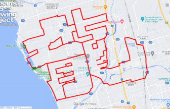
Japan’s Southernmost & Westernmost Circle Walk✨
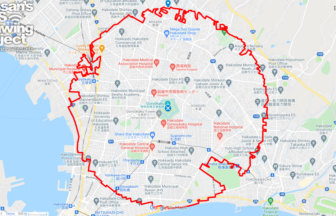
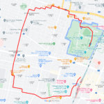
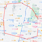
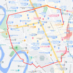
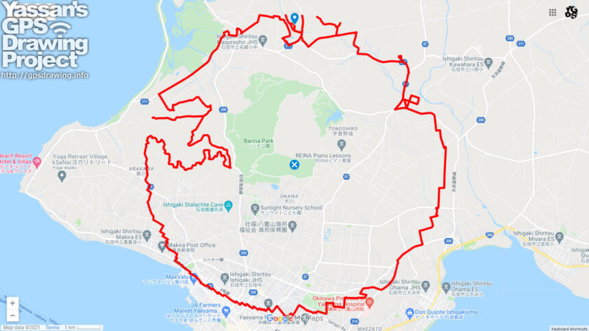
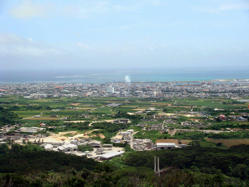
The course is a 3.14km radius circle around Ishigaki Island, the southernmost and westernmost city in Japan. The southern part of the island is the urban area, while the northern part has many mountains and is called “back Ishigaki.
The shape is a little awkward, but it covers the urban area in the south, the sugar cane fields in the north, the ruins of the airfield in the southeast, the observatory in the west, and other places that symbolize Ishigaki Island. It is a course where you can learn the geography of Ishigaki Island just by going around.
TOURISTS SPOT
- Ishigakishi Chuoundo Koen Takochu Park
- Ishigaki-shi Garden
- Ishigakijima Astronomical Observatory
REFFERENCE
DETAIL (EXTERNAL LINK)

A PIONEER IN GPS ART.
1st work was authorized by Guinness World Records as “the Largest GPS Drawing”.
He is the only Japanese person to be featured in a Google documentary as an innovator. He is fascinated by the idea of drawing with GPS and has published more than 1,500 courses.