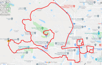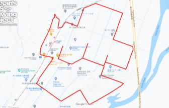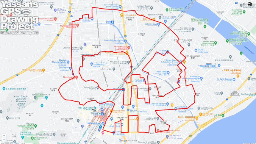
Great for Halloween! GPS art of skull in Odawara💀
A course of GPS art of skulls, drawing in downtown Odawara, one of the most popular sightseeing spots in the Kanto region.
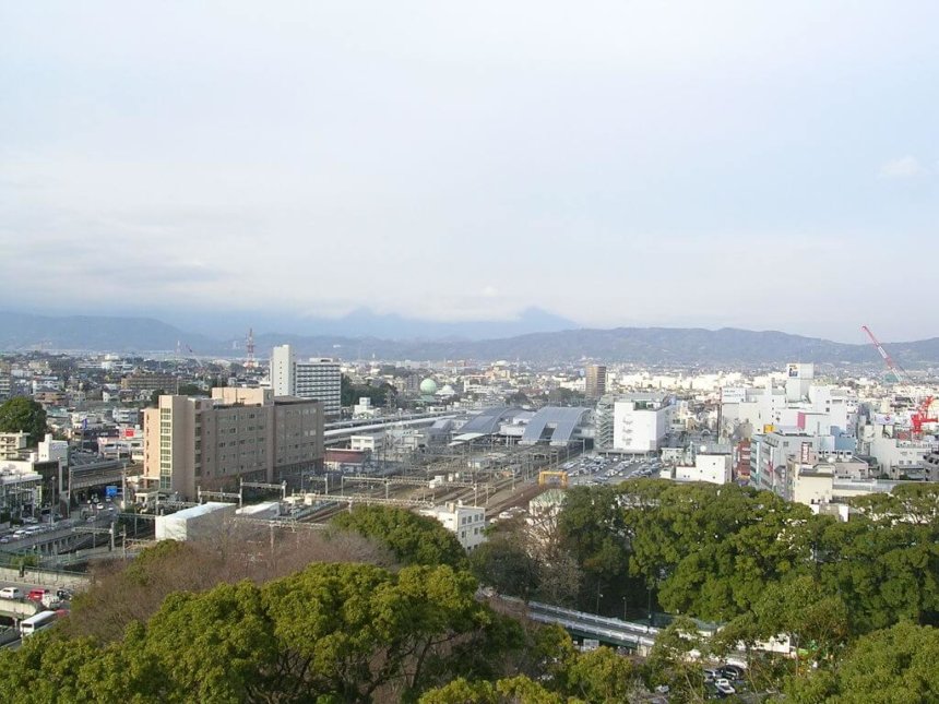
This castle town flourished as a castle town of the Go-Hojo clan during the Warring States period. In the Edo period (1603-1867), it flourished as an inn town on the Tokaido Highway. Located on the southwestern edge of the Kanto region, it has functioned as a bedroom town for Tokyo since the bubble era of the Showa period (1926-1989). Commuters are still moving to the area today, taking advantage of its location, where they can commute to Tokyo Station on the Shinkansen bullet train in 35 minutes.
It may be difficult to gather again this year depending on the epidemic… …We hope you will enjoy our Halloween run that avoids density 💀✨
TOURISTS SPOT
- Odawara Castle
- Joint Sign-In Earthen Base
- Hōjō Sōun Statue
- Odawara Atagosan Ruins
- Foot Bath
REFFERENCE
DETAIL (EXTERNAL LINK)

A PIONEER IN GPS ART.
1st work was authorized by Guinness World Records as “the Largest GPS Drawing”.
He is the only Japanese person to be featured in a Google documentary as an innovator. He is fascinated by the idea of drawing with GPS and has published more than 1,500 courses.