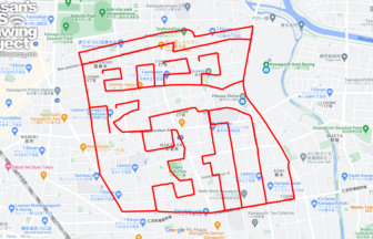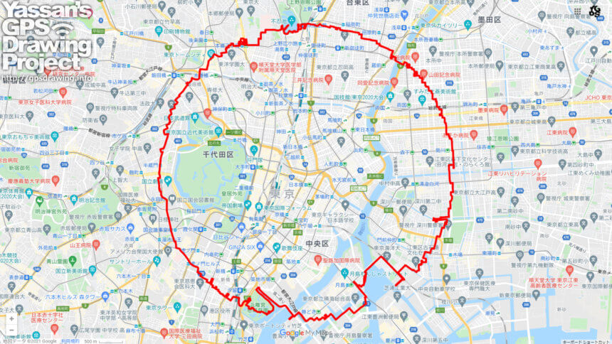
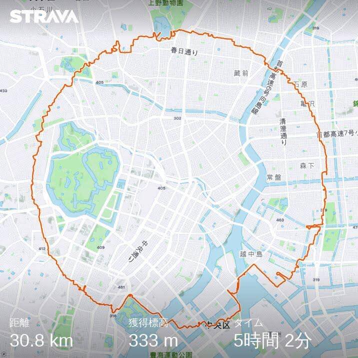
Circle drawning around the center of Japan.✨
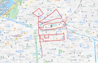
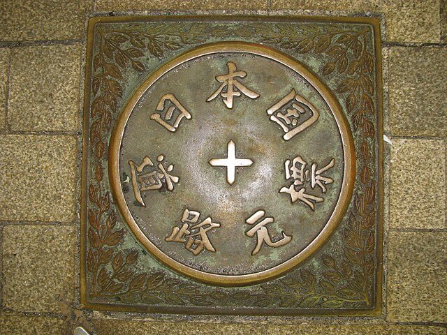
Nihonbashi is the starting point for all major roads in Japan. In the center of Nihonbashi, there is a “Japan National Road Sign” embedded.
The concept of this work is to draw a equilateral circle, starting from the very center of Japan.
This is a course where “drawing shapes” takes priority over everything else. There are a lot of unreasonable turns and it can be difficult to run😅
However, this course has more sightseeing spots than any other. If you’re looking for a less crowded way to see Tokyo, this is the one for you!
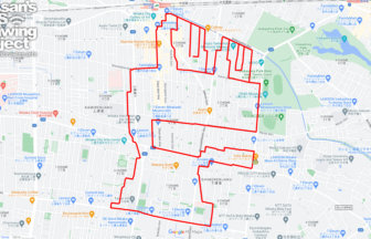
TOURISTS SPOT
- Museum of Contemporary Art Tokyo (MOT)
- Nakanoshima Park
- Hamarikyu Gardens
- Toranomon Hills Mori Tower
- Prime Minister’s Official Residence
- National Diet Building
- Yasukuni Shrine
- Tokyo Dome City
- Kyu-Iwasaki-tei Gardens
- Shinobazu Pond
- Ueno Park
REFFERENCE
Just Done It✨
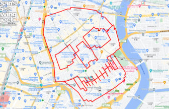
First attempt on March 14, the same day as Pi. It’s interesting because it requires map reading, so it has an orienteering element to it!
Going to continue this series✨
DETAIL (EXTERNAL LINK)

A PIONEER IN GPS ART.
1st work was authorized by Guinness World Records as “the Largest GPS Drawing”.
He is the only Japanese person to be featured in a Google documentary as an innovator. He is fascinated by the idea of drawing with GPS and has published more than 1,500 courses.