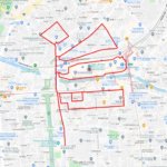
Support Noto Peninsula! Drawing GPS Art Ties All Over Japan👍✨
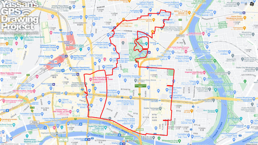
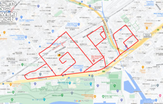
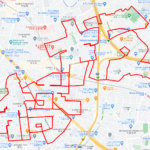
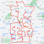
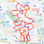
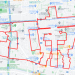
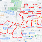
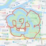
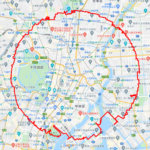
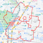
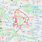
Run and walk to support Noto Peninsula! A GPS art course where you can draw a Noto Peninsula support logo in Osaka.
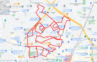
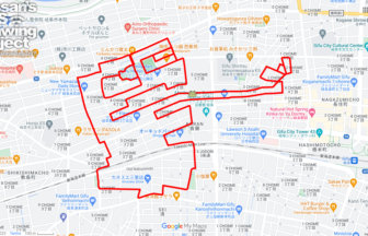
Ishikawa Prefecture is known as the “Thumb Prefecture” because the Noto Peninsula, stretching from Honshu to the Sea of Japan, looks like a thumb sticking out. We designed a logo that crosses the Noto Peninsula with the pose of a hand with a thumb up. We will present a course where this logo can be drawn in various places in Japan.
This course allows you to draw GPS art around the building district on the east side of Osaka Station. The course will tour the Tenma/Tenjin area located in the middle of the Yodo River. Note that the name of the area derives from Osaka Tenmangu Shrine, a well-known shrine in the area. After flourishing as a commercial center during the Edo period (1603-1867), the area developed related industries after the establishment of the Mint Bureau in the Meiji period (1868-1912). Furthermore, with the air raids of the Pacific War, postwar economic development, and the establishment of courthouses, the area is now lined with many small offices, small factories, and law firms. We hope you will enjoy GPS art in an area that reflects Osaka’s rich history!
コース詳細(外部リンク)

A PIONEER IN GPS ART.
1st work was authorized by Guinness World Records as “the Largest GPS Drawing”.
He is the only Japanese person to be featured in a Google documentary as an innovator. He is fascinated by the idea of drawing with GPS and has published more than 1,500 courses.
