Kinki Region
- Sort condition
- Newest first
- Oldest first
- Large number of views
-
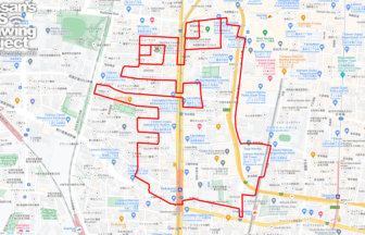
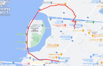
Frog in Namba Yasaka Shrine, Osaka 6km…
This is a course of frog GPS art to be drawn around Namba Yasaka Shrine in Naniwa-ku, Osaka City, where a stone frog …
-
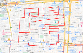
Frog in Samuhara Shrine, Osaka 7km
This is a course of frog GPS art to be drawn around Samuhara Shrine in Osaka, which is famous for its frog amulet.
-
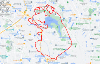
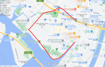
Frog in Komyo Pond, Sakai City, Osaka …
A course of frog GPS art to be drawn around the Amagoi Frog (Rain-making Frog), a famous landmark named after a frog …
-
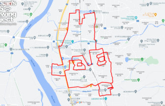
Frog in Kawazuzuka, Ide, Kyoto pref. 9…
This is a course of frog GPS art to be drawn around Kawazuzuka (Frog Mound), a famous landmark named after a frog in …
-
“C” in Kusatsu, Shiga pref…
International cooperation by GPS art of “C” onto Kusatsu! You can tour the waterfront of Kusatsu River, Okami River, …
-
“C” in Wakayama City 3km
International cooperation by GPS art of “C” onto Wakayama! This course is designed to allow visitors to walk around W…
-
“C” in Nishinomiya, Hyogo …
International cooperation by GPS art of “C” onto Nishinomiya! This GPS art course allows you to walk and draw around …
-
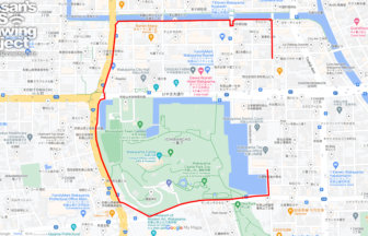
“C” in Osaka City 3km
International cooperation by GPS art of “C” onto Osaka! This course is a GPS art walk along the outer moat of Osaka C…
-
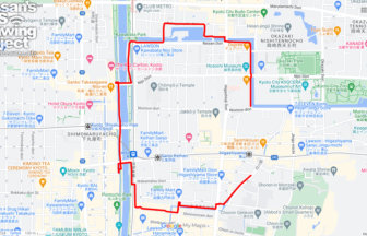
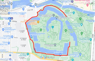
“C” in Kyoto City 4km
International cooperation by GPS art of “C” onto Kyoto! You can enjoy walking along the waterfront surrounded by the …
-
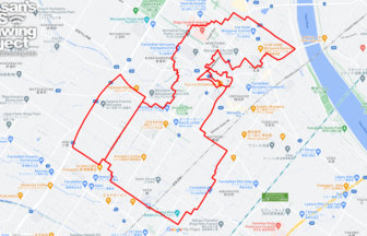
Ganbaro Noto in Moriyama 18km
Run and walk to support Noto Peninsula! A GPS art course where you can draw a Noto Peninsula support logo in Moriyam…


