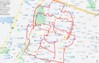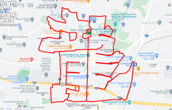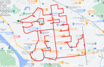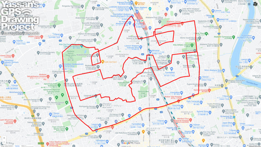
Halloween course to be drawn at Tokyo’s northern gateway✨
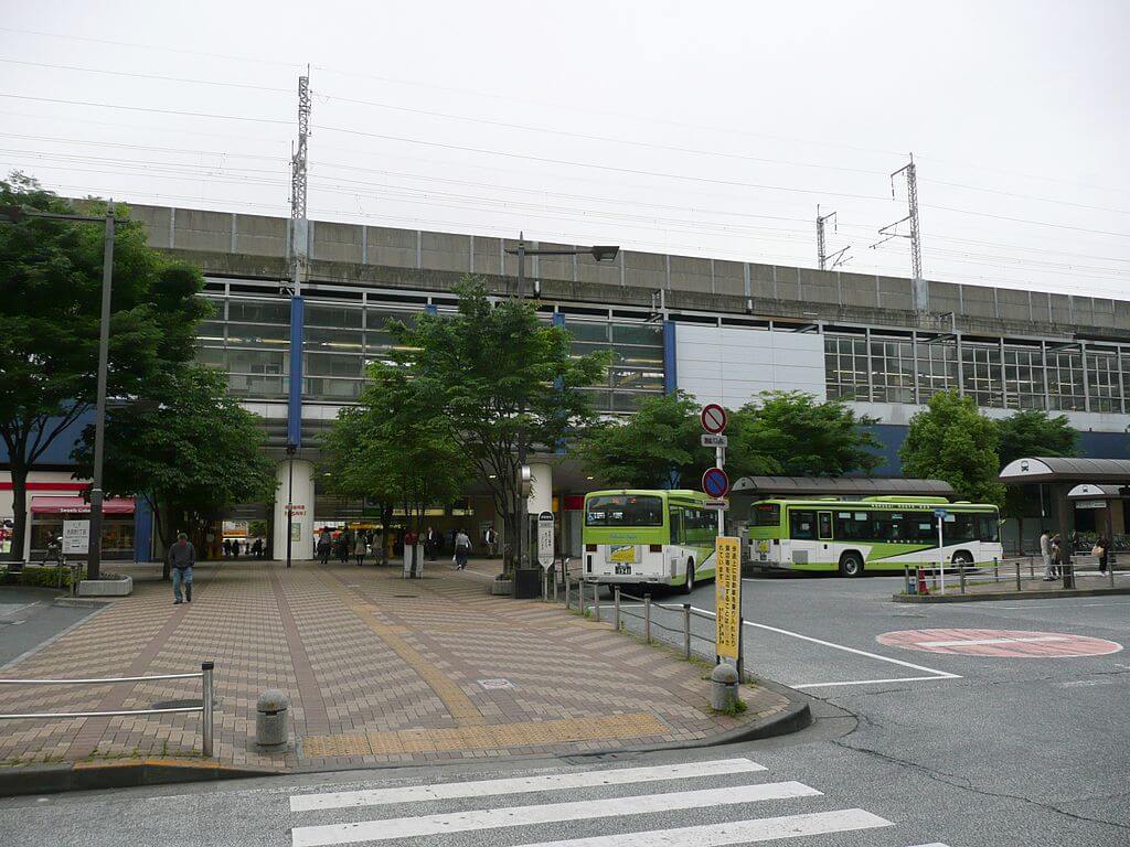
In the Edo period (1603-1868), it was an inn town, but after the railroad was built, it developed into a major transportation hub connecting Saitama and Tokyo.
The Saikyo and Keihin-Tohoku lines, the Takasaki and Utsunomiya lines, and the Namboku subway line all connect to the city, bringing it into close proximity with the urban areas of eastern Saitama. As a result, Akabane has become a part of Saitama Prefecture. There is an entertainment district where people can drink 24 hours a day due to the remnants of factories in the vicinity, and it has a somewhat obscene atmosphere.
On the west side of the course is the National Training Center, a sacred place for sports, so you may be able to meet athletes running in the vicinity.
The course is full of bends and ups and downs. It’s a great course for training runs. A post-run drink is also recommended!
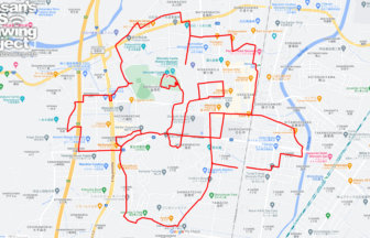
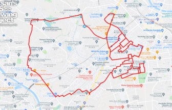
DETAIL (EXTERNAL LINK)

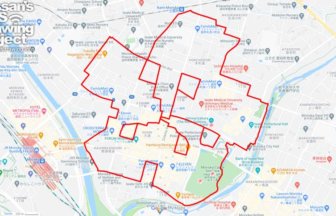
A PIONEER IN GPS ART.
1st work was authorized by Guinness World Records as “the Largest GPS Drawing”.
He is the only Japanese person to be featured in a Google documentary as an innovator. He is fascinated by the idea of drawing with GPS and has published more than 1,500 courses.