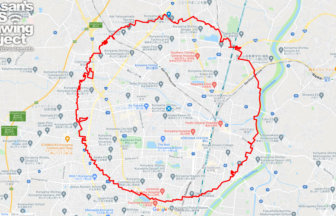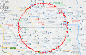
A circle with a radius of 3.14 km drawn around the center of Taiwan✨
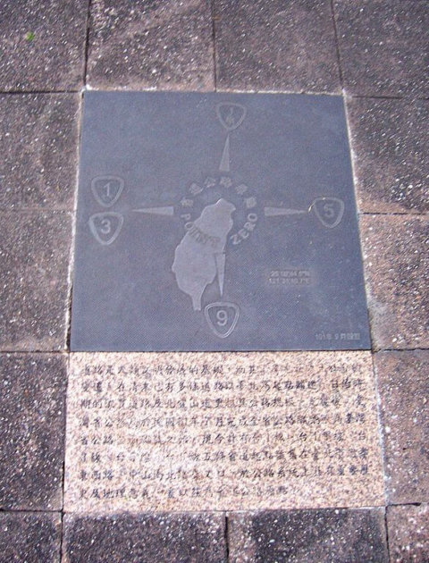
This is the origin of the Taiwan Highway, a road marker set up at the intersection of Zhongshan North-South Road and Zhongxiao East-West Road in Taipei City. It is located in front of the Executive Yuan, literally at the center of Taiwan’s administration.
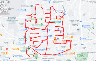
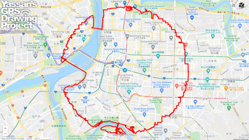
With this center at the center, the course forms an equilateral circle with a radius of 3.14 km. The course crosses several major rivers and takes you on a stroll through the city, which is rich in variety, from buildings to dense residential areas. As a new type of sightseeing course, we hope you will give it a try!
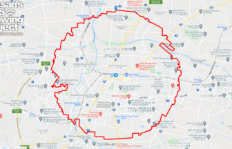
TOURISTS SPOT
- Yuanshan Park
- Taipei Fine Arts Museum
- Xinsheng Park Area of Taipei Expo Park
- Gutei River Hammock Park Bike Path Viewing Platform
- Green River Park
REFFERENCE
DETAIL (EXTERNAL LINK)

A PIONEER IN GPS ART.
1st work was authorized by Guinness World Records as “the Largest GPS Drawing”.
He is the only Japanese person to be featured in a Google documentary as an innovator. He is fascinated by the idea of drawing with GPS and has published more than 1,500 courses.