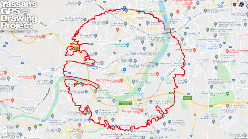
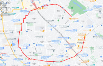
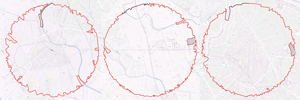
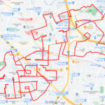
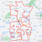
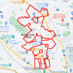
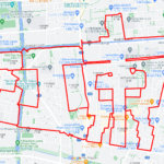
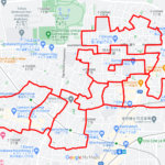
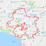
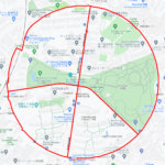
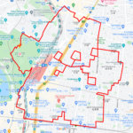
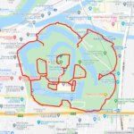
A circle with a radius of 3.14 km drawn in the Bungo Province✨
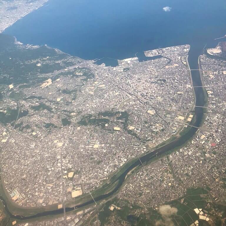
It is a city where civilization started so ancient that there is no record of it, and it is said that the national government was located there. The city is said to have been home to the national government. The city was called “Shokuta” because of the plains where rice fields spread out from that time, and was later written “Oita. Oita City was also called “Fuchai” because the national capital was located there.
This course passes through the ruins of Oita Fuchai Castle, which was the center of Fuchai, and forms a circle with a radius of 3.14 km. The course takes you through the urban center, countryside, and mountains that make up the city. It is a new type of sightseeing course that allows you to experience the origins of Oita.
DETAIL (EXTERNAL LINK)

A PIONEER IN GPS ART.
1st work was authorized by Guinness World Records as “the Largest GPS Drawing”.
He is the only Japanese person to be featured in a Google documentary as an innovator. He is fascinated by the idea of drawing with GPS and has published more than 1,500 courses.
