Support Noto Peninsula! Drawing GPS Art Ties All Over Japan👍✨
Run and walk to support Noto Peninsula! A GPS art course where you can draw a Noto Peninsula support logo in Nara.
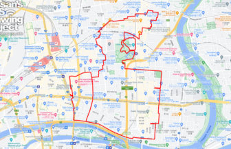
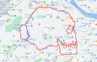
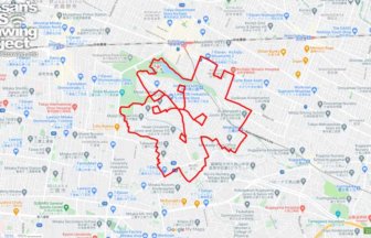
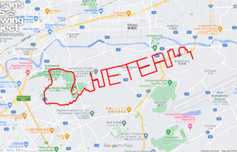
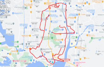
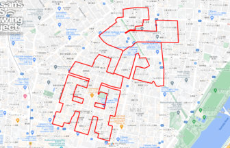
Ishikawa Prefecture is known as the “Thumb Prefecture” because the Noto Peninsula, stretching from Honshu to the Sea of Japan, looks like a thumb sticking out. We designed a logo that crosses the Noto Peninsula with the pose of a hand with a thumb up. We will present a course where this logo can be drawn in various places in Japan.
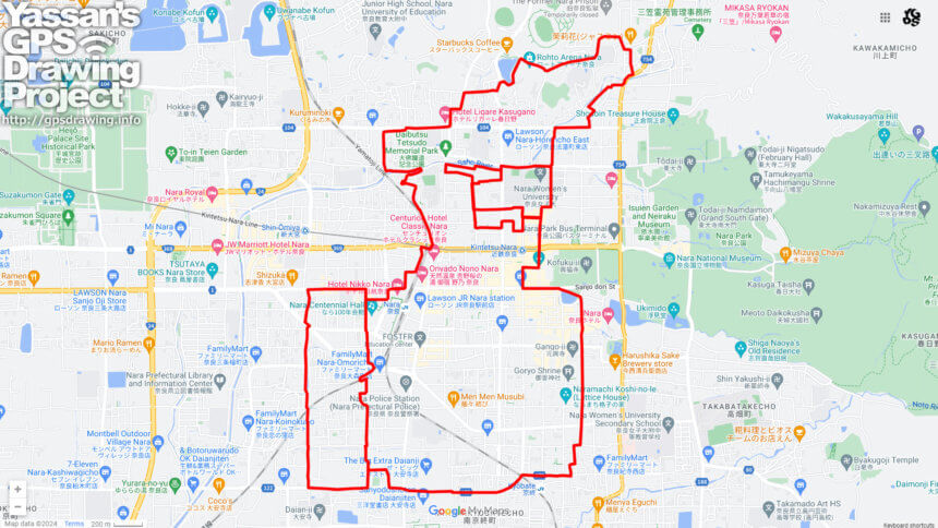
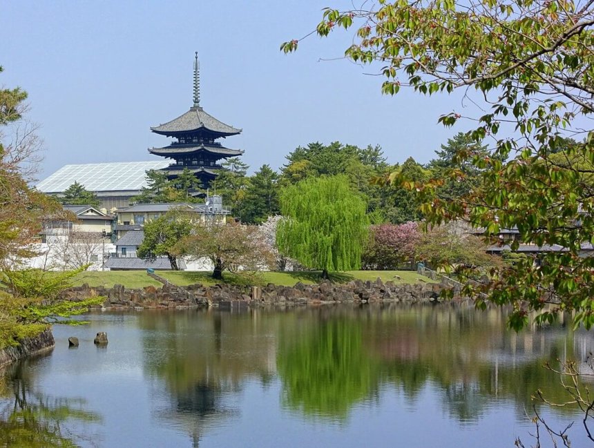
This is a GPS art course in the center of Nara City, which takes you to many famous sightseeing spots from JR Nara Station to Kofukuji Temple. In addition to famous temples and shrines, you may possibly see deer. Please try this tour when you visit Nara City!
TOURISTS SPOT
- JR Nara Station
- Kintetsu Nara Station
- Daibutsu Tetsudo Memorial Park
- Kombu-in temple
- Rohto Nara Konoike Park
- Tamonjo Castle Site
- Mausoleum of Emperor Syomu
- Kofuku-ji Temple
- Higashimuki Shopping Street
- Kofuku-ji Nan-endo (Southern Round Hall)
- Sarusawa-ike Pond
- Gango-ji Temple
- Goryo Shrine
- Naramachi Koshi-no-Ie (Lattice House)
- Hotei-yu Public Bath
- Daian-ji Temple
REFFERENCE
DETAIL (EXTERNAL LINK)

A PIONEER IN GPS ART.
1st work was authorized by Guinness World Records as “the Largest GPS Drawing”.
He is the only Japanese person to be featured in a Google documentary as an innovator. He is fascinated by the idea of drawing with GPS and has published more than 1,500 courses.