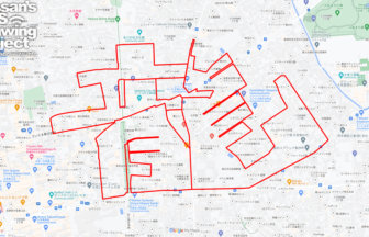
Run Through History and Nature! “Hino” GPS Art Course✨
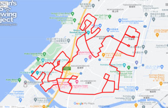
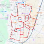
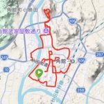
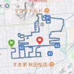
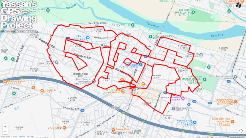
Located where the Tama and Asa Rivers meet, Hino City in western Tokyo is a place where rich nature and deep history come together. Now, you can explore its heart with a unique GPS art course that draws the characters “日野” (Hino) across the city—covering approximately 15 kilometers.
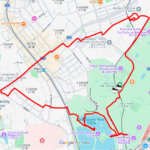
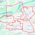
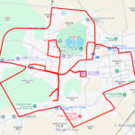
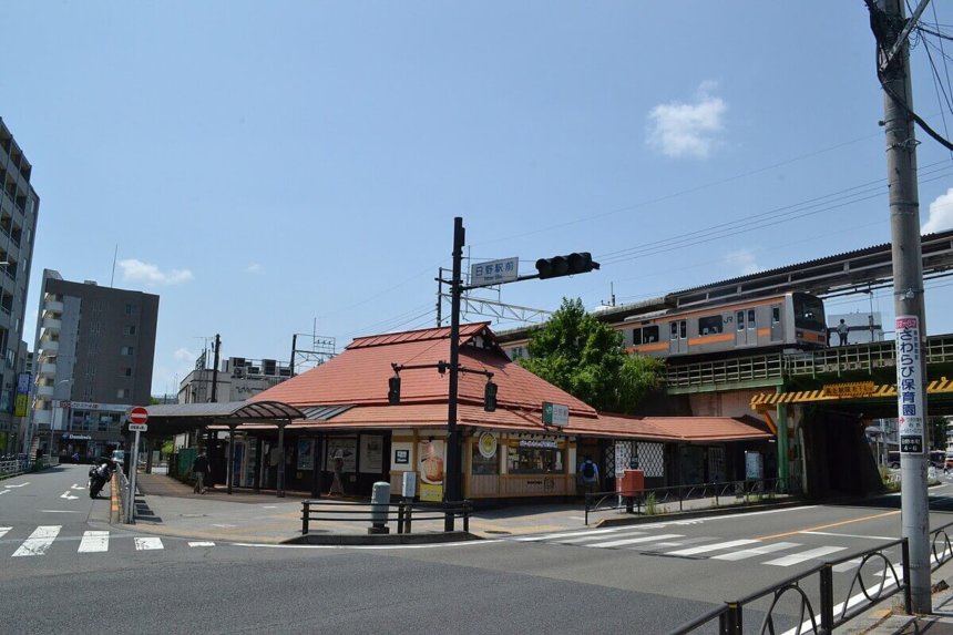
The course begins at Hino Station and takes you through highlights such as the Citizen’s Forest Sports Park, Tokoji Grounds, the historic Hino-shuku Honjin, and the Inoue Genzaburo Museum. Along the way, runners and walkers alike can enjoy both lush greenery and cultural heritage in a single journey.
The name “Hino” is said to originate from “Hino-no,” meaning “sunlit field,” a fitting description of the bright plains that once stretched across the area. During the Edo period, Hino flourished as a post town on the Koshu Kaido highway, known as “Hino-shuku.” The city also holds a special place in Japanese history as the home of Shinsengumi members such as Vice-Commander Hijikata Toshizo and Captain Inoue Genzaburo, whose legacy can still be felt through preserved residences and local museums.
The route also showcases Hino’s natural beauty, with the peaceful flow of the Asa River and the relaxing greenery of community parks. By the time you complete the 15km journey, the name “Hino” will appear on your GPS map—a rewarding achievement and a memorable keepsake of your run.
Whether you are a history enthusiast, a runner seeking a new challenge, or simply someone who loves discovering hidden gems, this GPS art course offers a fresh and engaging way to experience Hino. Step into history, enjoy nature, and leave your mark on the map!
DETAIL (EXTERNAL LINK)

A PIONEER IN GPS ART.
1st work was authorized by Guinness World Records as “the Largest GPS Drawing”.
He is the only Japanese person to be featured in a Google documentary as an innovator. He is fascinated by the idea of drawing with GPS and has published more than 2,500 works.