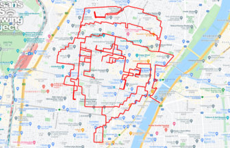
Course that stadium will be the eye of Amabie✨
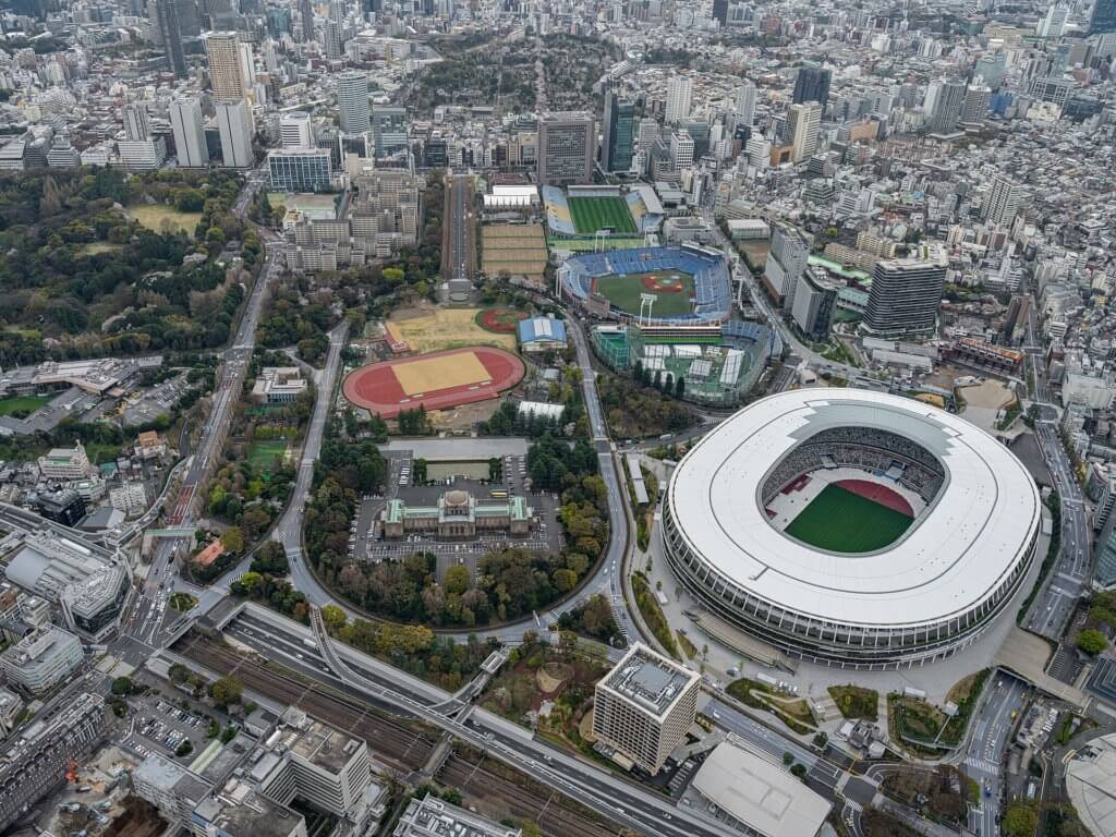
The National Kasumigaoka Stadium Complex is the center of Japanese sports, housing the Olympic Stadium, rugby field, gymnasium, swimming pool, tennis courts, and training center.
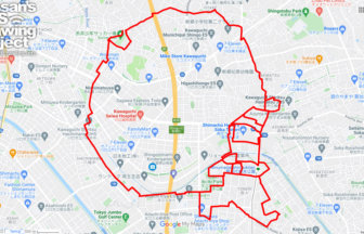
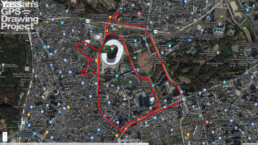
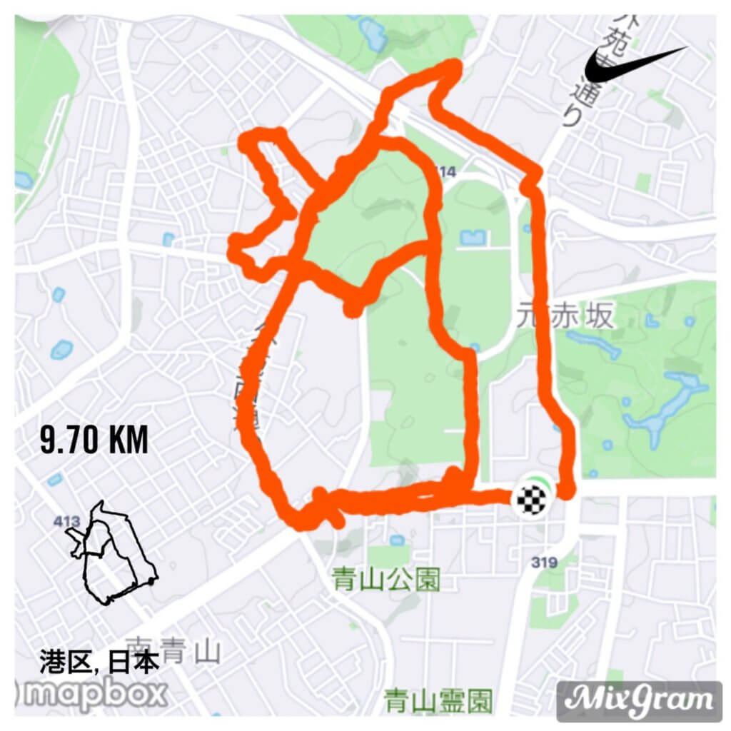
Did you know that if you go around the site, you can create a GPS art of Amabie? And its eyes will be on the Olympic Stadium, which looks a bit like it’s crying because of the design of its roof.
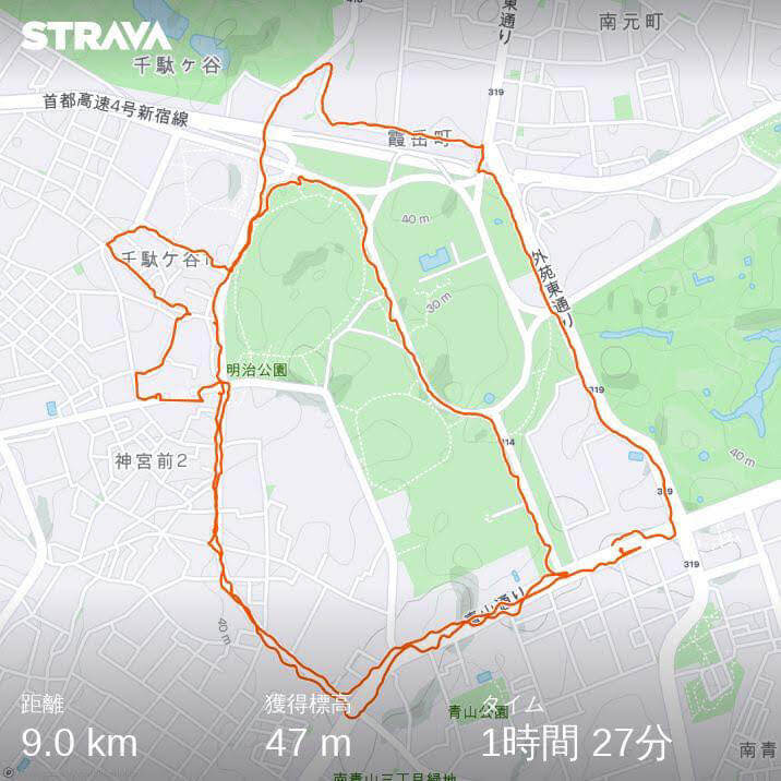
The length is short and there are few turns. Even beginners can enjoy this course.
I think it is currently closed due to traffic restrictions at the Olympic site. Please draw it after the party✨
TOURISTS SPOT
TOURISTS SPOT
Just Did It!!
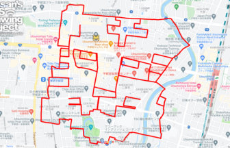
Thank you, Korotama-san, for the actual run!
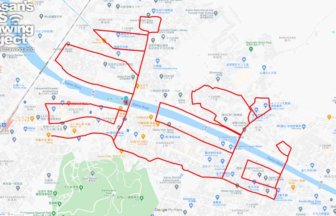
I also walked early in the morning, and it was very comfortable with few turns!
✨
DETAIL (EXTERNAL LINK)

A PIONEER IN GPS ART.
1st work was authorized by Guinness World Records as “the Largest GPS Drawing”.
He is the only Japanese person to be featured in a Google documentary as an innovator. He is fascinated by the idea of drawing with GPS and has published more than 1,500 courses.