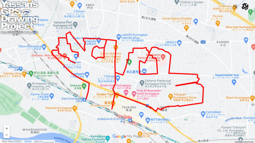
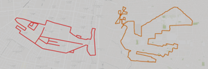
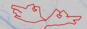
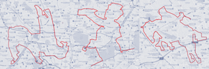
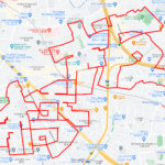
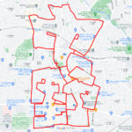
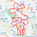
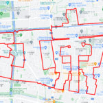
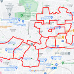
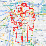
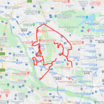
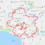
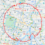
Drawing “Saitama Pose” with GPS art in a major city in the northern part of Saitama Prefecture✨
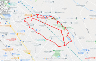
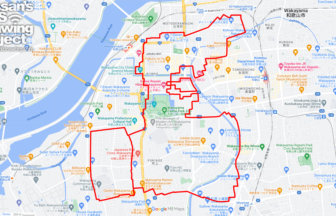
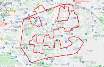
November 14 is Saitama Citizens’ Day! This is a course where you can draw “Saitama Pose” with GPS art, which is what you should do if you are a resident of Saitama Prefecture.
Kumagaya prospered in the Edo period as one of the post towns along the Nakasendo Highway. In the Meiji period (1868-1912), a railroad was built from Ueno, and the town developed as a base for the sericulture and silk industry, a national policy at that time. The flour milling industry also developed through the milling of local wheat. It became the economic center of the surrounding area. During the Showa Period (1926-1989), the Joetsu Shinkansen bullet train line opened, and in the Heisei Period (1989-90), the high summer temperatures attracted nationwide attention, and the area became known as ” It’s hot in Kumagaya! Kumagaya”.
ADDITION: They are looking for “Saitama Pose Photos” at the following link. Please feel free to submit your photos here as well!
Saitama poses are wanted from all over Japan! @So! Da SAITAMA
DETAIL (EXTERNAL LINK)

A PIONEER IN GPS ART.
1st work was authorized by Guinness World Records as “the Largest GPS Drawing”.
He is the only Japanese person to be featured in a Google documentary as an innovator. He is fascinated by the idea of drawing with GPS and has published more than 1,500 courses.
