Support Noto Peninsula! Drawing GPS Art Ties All Over Japan👍✨
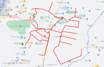
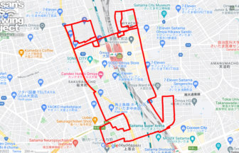
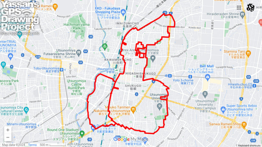
Run and walk to support Noto Peninsula! A GPS art course where you can draw a Noto Peninsula support logo in Utsunomiya.
Ishikawa Prefecture is known as the “Thumb Prefecture” because the Noto Peninsula, stretching from Honshu to the Sea of Japan, looks like a thumb sticking out. We designed a logo that crosses the Noto Peninsula with the pose of a hand with a thumb up. We will present a course where this logo can be drawn in various places in Japan.
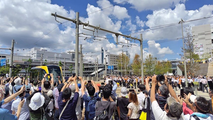
The course is in Utsunomiya City, Tochigi Prefecture, and can be drawn by going around the east and west sides of JR Utsunomiya Station. On the east side of the station, you can see the recently opened LRT and visit a gyoza (dumpling) restaurant. We hope you will try it while sightseeing in Utsunomiya!
TOURISTS SPOT
- Utsunomiya Station
- Imaizumi Central Park
- Utsunomiya Station East Park
- Kentagyozashin Higashiguchiten
- Gyoza Restaurant Dragon Ken
- Orion Gyoza Utsunomiya Station East Restaurant
- Orion Gyoza Utsunomiya Higashi Shukugo Restaurant
REFFERENCE
DETAIL (EXTERNAL LINK)

A PIONEER IN GPS ART.
1st work was authorized by Guinness World Records as “the Largest GPS Drawing”.
He is the only Japanese person to be featured in a Google documentary as an innovator. He is fascinated by the idea of drawing with GPS and has published more than 1,500 courses.