Walk Through History and Nature Along the Tama River! Komae City “Komae” GPS Art✨
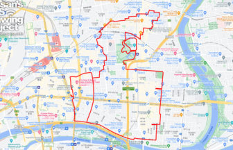
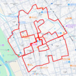
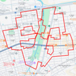
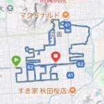
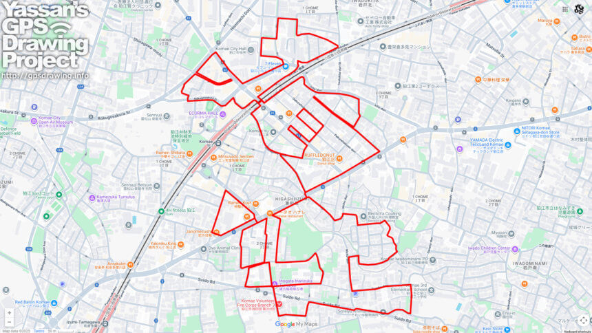
Komae City, located almost in the center of Tokyo, is the smallest municipality in the metropolitan area outside of the 23 wards, with a total area of just 6.4 square kilometers. Despite its compact size, it is a city rich in history and culture. Now, you can explore its charm through a unique GPS art course (approximately 9km) that traces the city name “Komae” across its streets.
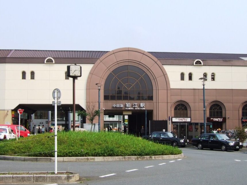
The journey begins at Komae Station on the Odakyu Line. From here, the route takes you past the Komae City Hall, the historic Unshozan Senryuji Temple, and along the Suido Road, using the cityscape as a canvas to draw the characters “狛江” (Komae). The path is mostly flat and easy to walk, making it enjoyable for casual walkers while offering a chance to immerse yourself in the area’s history and scenery.
The origin of the name “Komae” is said to be linked either to the fertile land nourished by the Tama River, or to the ancient Koma people who migrated from the Korean Peninsula. Evidence of the city’s long history remains visible today in its ancient burial mounds, temples, and shrines. Senryuji Temple, in particular, stands as a symbol of Komae, with its serene grounds offering a place of rest and reflection for visitors.
The Tama River, flowing nearby, enriches the area with abundant nature, where seasonal beauty can be enjoyed throughout the year — cherry blossoms in spring, fresh greenery in summer, and vibrant foliage in autumn. Despite its small area, Komae City offers a rare balance of natural beauty, cultural heritage, and urban convenience.
This 9km GPS art course allows you to experience the essence of Komae in a completely new way. Why not take a walk, trace history and nature, and create your very own GPS art?
DETAIL (EXTERNAL LINK)

A PIONEER IN GPS ART.
1st work was authorized by Guinness World Records as “the Largest GPS Drawing”.
He is the only Japanese person to be featured in a Google documentary as an innovator. He is fascinated by the idea of drawing with GPS and has published more than 2,500 works.