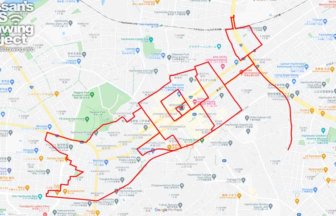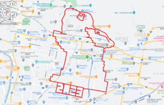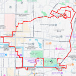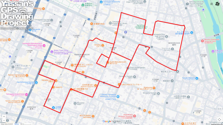
Draw “HOT” in Scorching Yamagata! A 4km GPS Art Walk at Japan’s Historic 40.8°C Record Site✨
On July 25, 1933, Yamagata City recorded a blistering 40.8°C, setting what was then Japan’s highest temperature ever observed. Remarkably, this record stood unbroken for 74 years, until it was surpassed in 2007. Today, you can revisit that historic moment by walking a special GPS art course around the Yamagata Local Meteorological Observatory, where you’ll draw the word “HOT” with your own footsteps. At just 4 kilometers in length, the route is designed to be compact and manageable—even in the sweltering summer heat.
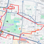
Yamagata is well-known for its basin climate, which often brings soaring summer temperatures. Yet the city is also blessed with rich natural surroundings, including views of the majestic Zao mountain range. Historically, Yamagata flourished as a center for safflower cultivation and trade, and today it is celebrated nationwide as the “home of cherries,” attracting visitors from across Japan and beyond. Walking through this city means immersing yourself in a unique blend of history, culture, and natural beauty.
This GPS art course allows you not only to connect with Yamagata’s climatic legacy but also to create a lasting memory by inscribing “HOT” onto the map with your journey. Whether you’re a runner, walker, or simply a curious traveler, the sense of accomplishment is sure to leave you with both sweat and smiles.
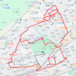
Step into the heat of history, and let your footsteps bring “HOT” to life in the very city that once defined Japan’s scorching summer record. A short yet rewarding course, it’s the perfect way to experience Yamagata in a truly unique and memorable way.
DETAIL (EXTERNAL LINK)

A PIONEER IN GPS ART.
1st work was authorized by Guinness World Records as “the Largest GPS Drawing”.
He is the only Japanese person to be featured in a Google documentary as an innovator. He is fascinated by the idea of drawing with GPS and has published more than 2,500 works.