Letter/Symbol/Map

Sort condition
Newest first
Oldest first
Large number of views
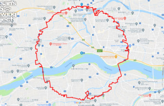
  1. 徳島サークルウォーク(徳島県徳島市)のGPSアート
    • TokushimaShikoku Island
    • 31km - 50km
    • SymbolCircle WalkOfficialLetter/Symbol/Map

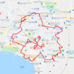
    Tokushima Circle Walk 37km

    A circle of radius 3.14 km drawn in the Yoshino River basin✨This circle walk is drawn in the basin of the Yoshino Riv…

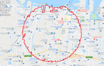
  2. 高松サークルウォーク(香川県高松市)のGPSアート
    • KagawaShikoku Island
    • 31km - 50km
    • SymbolCircle WalkOfficialLetter/Symbol/Map

    Takamatsu Circle Walk 33km

    A circle with a radius of 3.14 km drawn at the gateway to Shikoku✨The course is a 3.14 km radius circle around Takama…

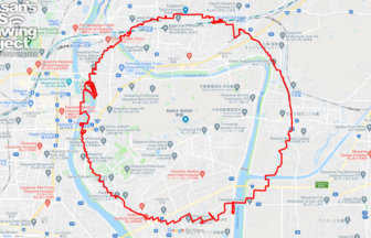
  3. 岡山サークルウォーク(岡山県岡山市)のGPSアート
    • OkayamaChugoku Region
    • 31km - 50km
    • SymbolCircle WalkOfficialLetter/Symbol/Map

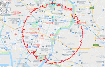
    Okayama Circle Walk 35km

    A circle with a radius of 3.14 km drawn on Okayama Castle✨Mt. So-zan, which was the center of the region in ancient t…

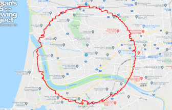
  4. 出雲サークルウォーク(島根県出雲市)のGPSアート
    • ShimaneChugoku Region
    • 21 - 30km
    • SymbolCircle WalkOfficialLetter/Symbol/Map

    Izumo Circle Walk 26km

    A circle with a radius of 3.14 km drawn on the plain in front of Izumo Taisha Shrine✨The course is a 3.14km radius ci…

  5. 鳥取サークルウォーク(鳥取県鳥取市)のGPSアート
    • TottoriChugoku Region
    • - 10km
    • SymbolCircle WalkOfficialLetter/Symbol/Map

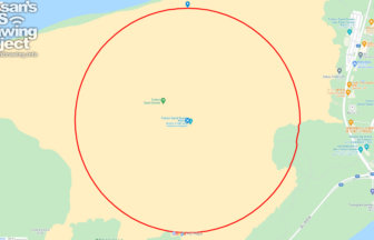
    Tottori Circle Walk 3.14km

    A 3.14km-long circle drawn on the Tottori Sand Dunes✨Isn't it a foul to draw freehand on an empty space? But here is…

  6. 奈良サークルウォーク(奈良県奈良市)のGPSアート
    • NaraKinki Region
    • 31km - 50km
    • SymbolCircle WalkOfficialLetter/Symbol/Map

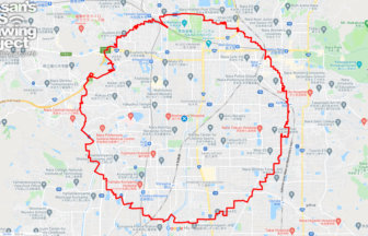
    Nara Circle Walk 32km

    A circle with a radius of 3.14 km drawn in Heijo-kyo✨Heijo-kyo, the center of the Nara period, a part of Japanese his…

  7. 姫路サークルウォーク(兵庫県姫路市)のGPSアート
    • HyogoKinki Region
    • 31km - 50km
    • SymbolCircle WalkOfficialLetter/Symbol/Map

    Himeji Circle Walk 33km

    A circle with a radius of 3.14 km drawn on the World Heritage Site✨Himeji Castle, also known as Shirasagi-jo (White E…

  8. 大阪サークルウォーク(大阪府大阪市)のGPSアート
    • OsakaKinki Region
    • 31km - 50km
    • SymbolCircle WalkOfficialLetter/Symbol/Map

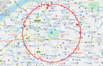
    Osaksa Circle Walk 33km

    A circle with a radius of 3.14 km drawn around the Osaka Castle tower✨Osaka Castle, built in the Azuchi-Momoyama peri…

  9. マドリッド サークルウォーク(マドリッド/スペイン)のGPSアート
    • Europe
    • 31km - 50km
    • SymbolCircle WalkOfficialLetter/Symbol/Map

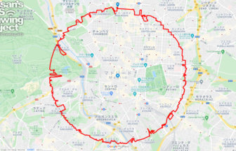
    Madrid Circle Walk 38km

    A circular course with a radius of 3.14 km drawn in the center of Spain✨Kilómetro Cero is a road marker that serves a…

  10. 四日市サークルウォーク(三重県四日市市)のGPSアート
    • MieKinki Region
    • 31km - 50km
    • SymbolCircle WalkOfficialLetter/Symbol/Map

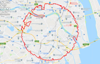
    Yokkaichi Circle Walk 37km

    A circle with a radius of 3.14 km drawn in a huge industrial area✨Yokkaichi City is an industrial city representing t…
  1. C(香川県直島町)のGPSアート

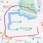
    “C” in Naoshima, Kagawa pref. 4km

  2. C(長野県長野市)のGPSアート

    “C” in Nagano City 5km

  3. C(東京都北区)のGPSアート

    “C” in Kita ward, Tokyo 1km

  4. C(広島県広島市)のGPSアート

    “C” in Hiroshima City 1km

  5. C(愛知県名古屋市)のGPSアート

    “C” in Nagoya, Aichi pref. 3km

  1. 東京スカイツリーに描くこいのぼりのGPSアート

    Carp Streamer in around Tokyo Skytree 4km

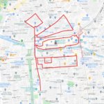
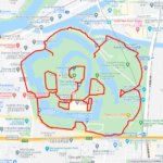
  2. Cherry Blossom in Osaka Castle 9km

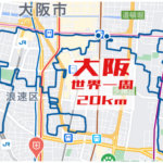
  3. Around the World in Osaka 20km

  4. Cherry Blossom in around Nago Castle Park 16km

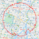
  5. TokyoCircleWalk

    Tokyo Circle Walk 32km

ARCHIVES