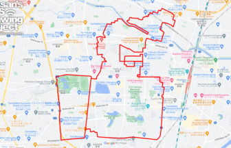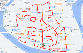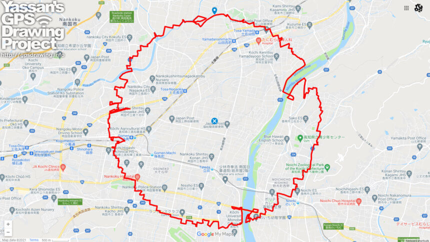
A circle of radius 3.14 km drawn on the Kochi Plain✨
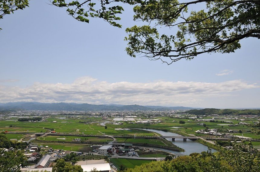
The Kochi Plain is an alluvial plain in southern Shikoku. The major plains in Kochi Prefecture belong to this area, where paddy fields are spread out.
It is now in decline because the food shortage has been resolved, but double cropping of rice was very popular in this area.
This course takes you through the fertile land between the Monobe and Kokubu Rivers.
TOURISTS SPOT
- Shikoku Automobile Museum
- Gokayama Mountain
- Kokusai-kan Ruins
- Hie Temple Ruins
REFFERENCE
- GPS ART Courses in Konan city, Kochi pref.
- GPS ART Courses in Kami city, Kochi pref.
- How to make GPS Art
DETAIL (EXTERNAL LINK)

A PIONEER IN GPS ART.
1st work was authorized by Guinness World Records as “the Largest GPS Drawing”.
He is the only Japanese person to be featured in a Google documentary as an innovator. He is fascinated by the idea of drawing with GPS and has published more than 1,500 courses.