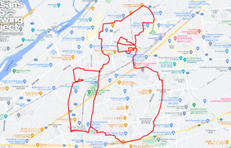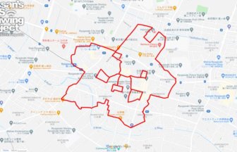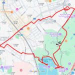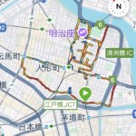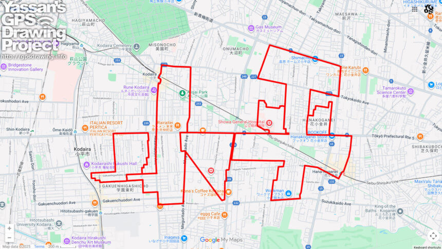
Run Through History and Nature! “Kodaira” GPS Art Course✨
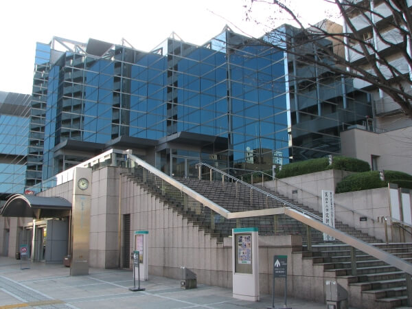
Located in the heart of the Tama region of Tokyo, Kodaira City now offers a unique GPS art course where you can draw the city’s name “小平 (Kodaira)” across the map on a 20km journey. Starting from the Kodaira City Hall and the cultural landmark “Rune Kodaira,” the course connects Kodaira Station and Hanakoganei Station, while guiding you past historic and cultural spots such as Kumano Shrine and the Kodaira Furusato Village.
The name “Kodaira” is said to originate from the flatlands (“taira”) of the Musashino Plateau that once spread across this area. During the Edo period, farmland flourished thanks to the development of the Ogawa Irrigation Canal, which branched off from the Tamagawa Josui. Today, traces of this history remain, with lush wooded areas and walking trails along the Tamagawa Josui offering a refreshing escape into nature right in the city.
Kodaira is also rich in culture and tradition. The Kodaira Furusato Village preserves traditional farmhouse architecture, while Kumano Shrine serves as the guardian deity of the region. Meanwhile, “Rune Kodaira” continues to be a hub for art and culture, hosting concerts and community events that bring the city to life.
Completing the 20km course will reveal the bold letters “小平 (Kodaira)” on your GPS map, filling you with a sense of achievement. It’s a unique way to experience the harmony of history, culture, and nature that defines Kodaira—perfect for runners and walkers alike.
DETAIL (EXTERNAL LINK)

A PIONEER IN GPS ART.
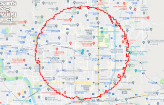
1st work was authorized by Guinness World Records as “the Largest GPS Drawing”.
He is the only Japanese person to be featured in a Google documentary as an innovator. He is fascinated by the idea of drawing with GPS and has published more than 2,500 works.