Draw “Fussa” by Walking! GPS Art in the Base Town✨
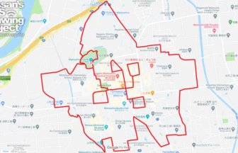
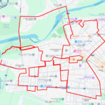
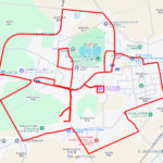
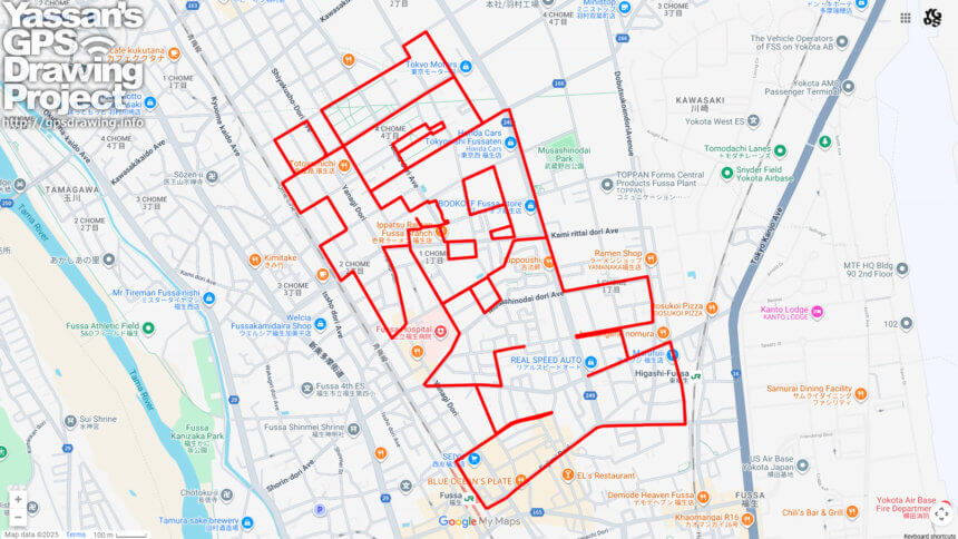
Located on the west side of Yokota Air Base, Fussa City in western Tokyo offers a unique 12km GPS art course where you can walk through the city center and draw the characters “福生” (“Fussa”) on your map. Starting from JR Ome Line’s Fussa Station, the course takes you past Higashi-Fussa Station and through the Fussa Kamihira housing complex and surrounding neighborhoods, gradually tracing the distinctive shape of the city’s name.
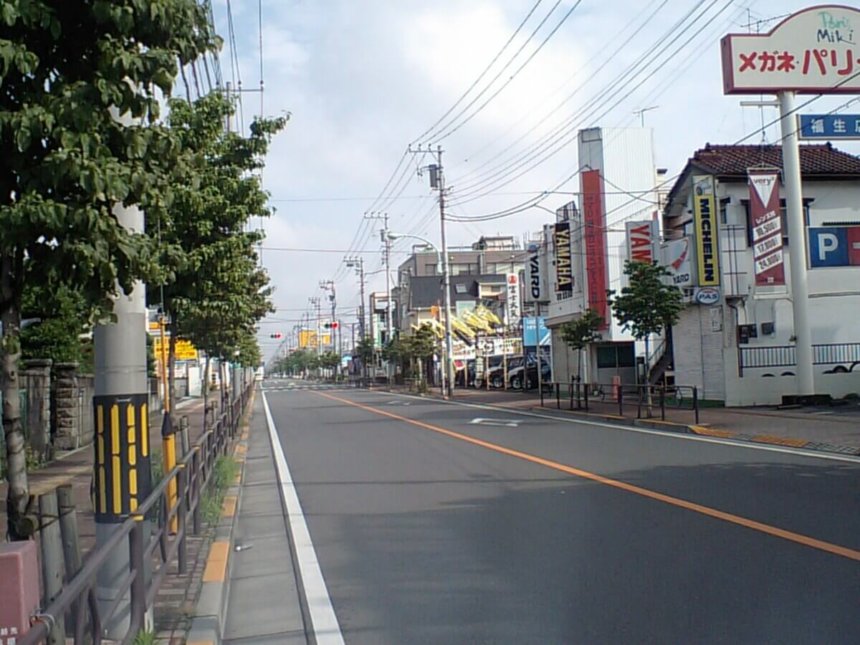
The name “Fussa” is said to originate from the historic temple “Fussain,” with the meaning of “a place where happiness is born.” Today, the city is well known as the host of Yokota Air Base, and its vibrant downtown has developed into a hub of international culture. Around the popular “Base Side Street,” visitors can enjoy a unique mix of American-inspired shops, cafés, and restaurants, giving the area an exotic atmosphere that sets it apart from other parts of Tokyo.
In addition to its cosmopolitan side, Fussa is also blessed with abundant nature. The Tama River flows along the city’s southern edge, offering refreshing riverside scenery that is perfect for walking, jogging, or cycling. The riverbanks are especially popular for enjoying seasonal landscapes, from cherry blossoms in spring to colorful foliage in autumn.
This GPS art course allows you to experience Fussa’s diverse charm—its history, international culture, and natural beauty—while creating a one-of-a-kind piece of art on your GPS map. Walking through the city to draw “Fussa” is not only a creative adventure but also a memorable way to connect with the spirit of this unique town.
DETAIL (EXTERNAL LINK)

A PIONEER IN GPS ART.
1st work was authorized by Guinness World Records as “the Largest GPS Drawing”.
He is the only Japanese person to be featured in a Google documentary as an innovator. He is fascinated by the idea of drawing with GPS and has published more than 2,500 works.