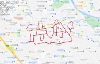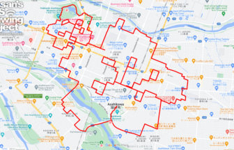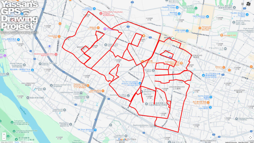
Discover Akishima’s Charm! A 19km GPS Art Course Drawing “昭島”✨
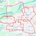
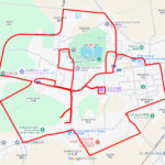
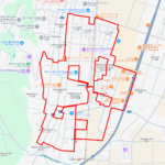
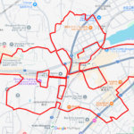
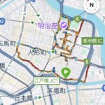
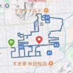
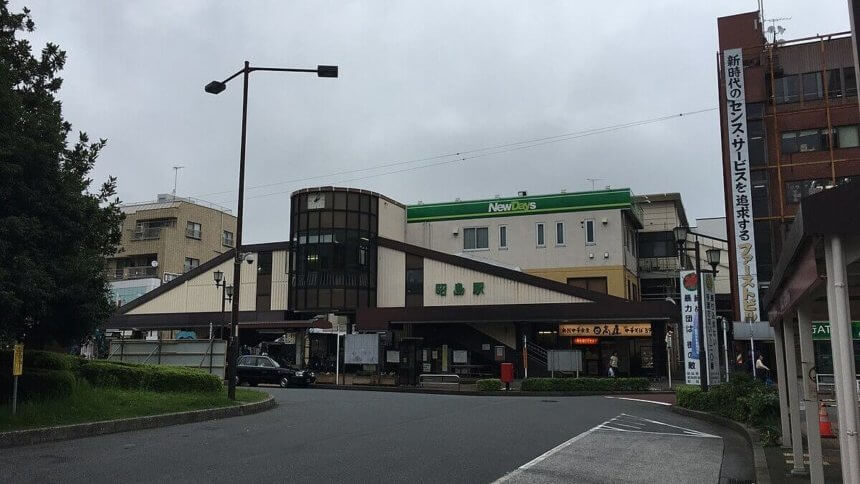
This 19km GPS art course takes you through Akishima City in western Tokyo, tracing the characters “昭島” across the map. Starting near the City Hall, the route winds through quiet residential streets, passes the bustling area around JR Akishima Station, and visits historic landmarks such as Kamigawara Hie Shrine and Ryuden-ji Temple—allowing you to experience the true spirit of the city.
The name “Akishima” was born in 1932 (Showa 7), when Haijima Town and surrounding villages merged. The “昭” (Sho) represents the new Showa era, while “島” (shima) refers to the island-like plateau that defines the local terrain. Located along the Tama River, Akishima has long been a place blessed with clear waters and lush greenery, supporting life and culture for centuries. Even today, the area preserves the natural beauty of Musashino’s landscape, harmonizing with its lively urban districts.
Kamigawara Hie Shrine has long been revered as the community’s guardian deity, while Ryuden-ji Temple continues to watch over the city with quiet dignity. Exploring these sites along the route offers more than just exercise—it is a journey into history, culture, and tradition.
Though the course stretches a challenging 19km, the reward of clearly drawing “昭島” on your GPS device makes the effort worthwhile. It is a unique adventure where every step connects you with Akishima’s heritage, nature, and people.
DETAIL (EXTERNAL LINK)

A PIONEER IN GPS ART.
1st work was authorized by Guinness World Records as “the Largest GPS Drawing”.
He is the only Japanese person to be featured in a Google documentary as an innovator. He is fascinated by the idea of drawing with GPS and has published more than 2,500 works.