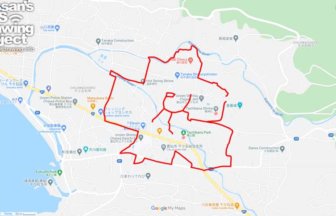
Great for Halloween! GPS art of skull in Kawagoe🚴💀
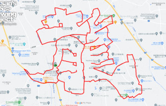
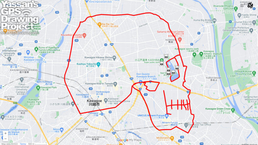
A course of skull GPS art to be drawn in the center of Kawagoe, one of Saitama’s leading tourist cities and Koedo (Little Edo).
The streets of Kawagoe City consist of arterial roads that radiate out and ring roads that connect them. The ring road fits the profile of the skull perfectly. But maybe it was a little too realistic 😅
The eastern face portion is around Isanuma Marsh, and the western rear portion is the Kawagoe North Loop Route (Prefectural Route 160). The route is reasonably rideable on a road bike, and although it is somewhat long at over 30 km, it is also a beginner-friendly course with few turns and turns.
It may be difficult to gather again this year depending on the plague… We hope you will enjoy our Halloween run and avoid the density 💀✨
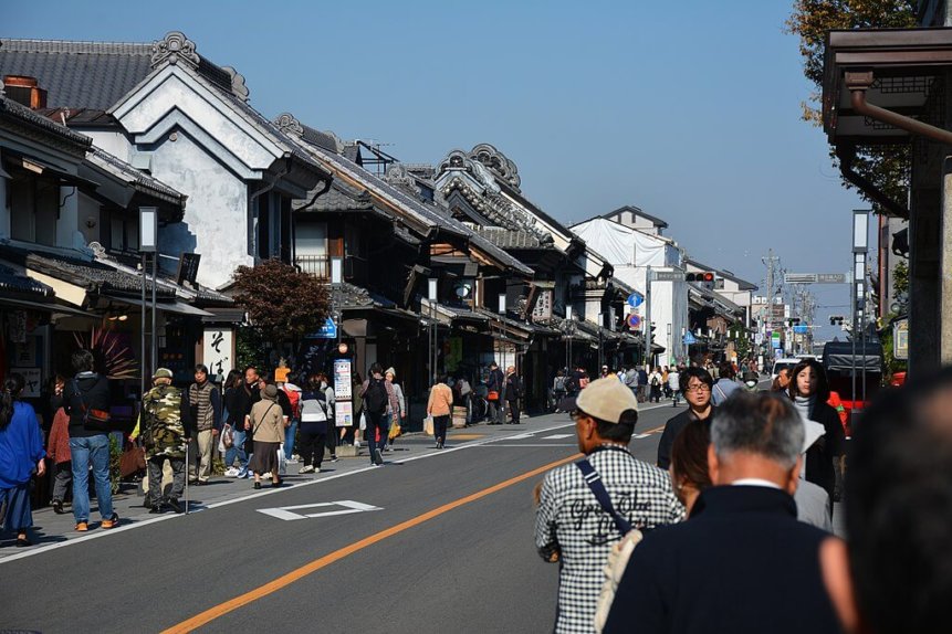
TOURISTS SPOT
REFFERENCE
DETAIL (EXTERNAL LINK)

A PIONEER IN GPS ART.
1st work was authorized by Guinness World Records as “the Largest GPS Drawing”.
He is the only Japanese person to be featured in a Google documentary as an innovator. He is fascinated by the idea of drawing with GPS and has published more than 1,500 courses.