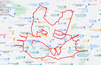
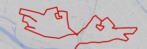
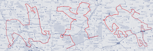
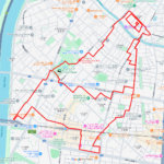
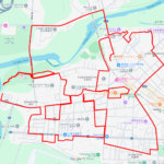
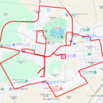
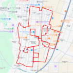
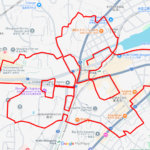
GPS art of the place name “Soka” drawn in Soka City✨
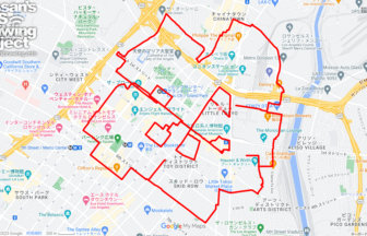
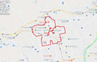
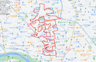
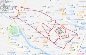
This is a series of GPS art courses that draw the place name “Soka” in Soka City, Saitama.
There are various theories as to the origin of the name “Soka,” but two are the most popular. The first is that when Hidetada Tokugawa was falcon hunting in this area, he made a road by bundling grass and trees, which was called “Kusa no daikou,” which translates to “great merit of grass. The second theory is that the word “soga,” meaning sandy soil, became “soka.
This area has long been a rice-producing region, and farmers dried rice dumplings to preserve surplus rice. When the area became an inn town in the Edo period (1603-1867), the dried rice evolved into rice crackers. In the Taisho era (1912-1926), Soka senbei was presented to the emperor and became known throughout Japan.
This course allows visitors to tour the center of Soka City. It passes through the downtown area in front of Soka Station and residential areas. We hope you will enjoy the differences in the paths between the area in front of the station and the suburbs.
TOURISTS SPOT
REFFERENCE

Source: Wikimedia Commons
DETAIL (EXTERNAL LINK)

A PIONEER IN GPS ART.
1st work was authorized by Guinness World Records as “the Largest GPS Drawing”.
He is the only Japanese person to be featured in a Google documentary as an innovator. He is fascinated by the idea of drawing with GPS and has published more than 2,500 works.