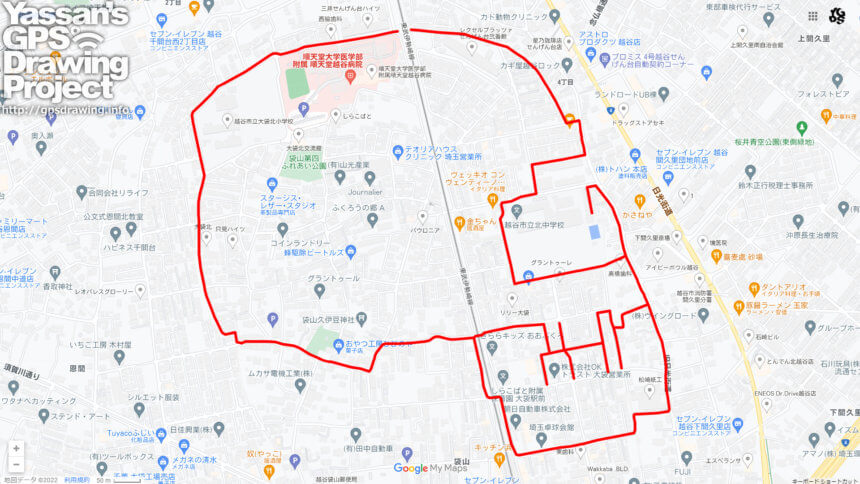
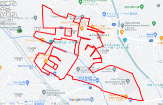
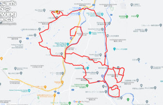
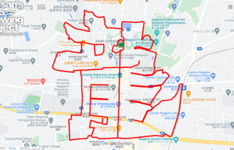
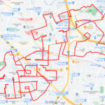
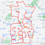
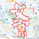
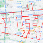
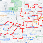
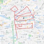
Great for Halloween! GPS art of skull in Koshigaya💀
A course of GPS art of skulls, drawn in Oobukuro, Koshigaya City, a bedroom town in northern Tokyo.
Once a farming village along the Nikko Kaido Road, Obukuro was served by the Tobu Isezaki Line during the Meiji Era. Then, in the Taisho era (1912-1926), the Oobukuro station was opened. During the high-growth period of the Showa era, the area was incorporated into Koshigaya-cho (now Koshigaya City). The construction of Takesato Danchi, known as “the best housing complex in the East,” was completed in the neighboring city of Kasukabe, and the area rapidly developed as a new town in the suburbs of Tokyo.
It may be difficult to gather again this year depending on the epidemic… We hope you will enjoy our Halloween run avoiding the density of the city 💀✨
TOURISTS SPOT
REFFERENCE
DETAIL (EXTERNAL LINK)

A PIONEER IN GPS ART.
1st work was authorized by Guinness World Records as “the Largest GPS Drawing”.
He is the only Japanese person to be featured in a Google documentary as an innovator. He is fascinated by the idea of drawing with GPS and has published more than 1,500 courses.
