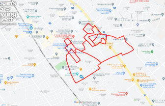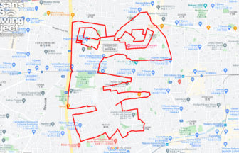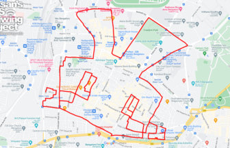
Support Noto Peninsula! Drawing GPS Art Ties All Over Japan👍✨
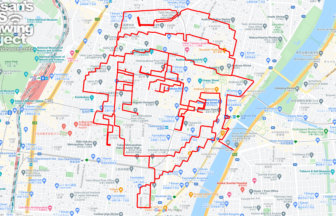
Run and walk to support Noto Peninsula! A GPS art course where you can draw a Noto Peninsula support logo in Shimonoseki.
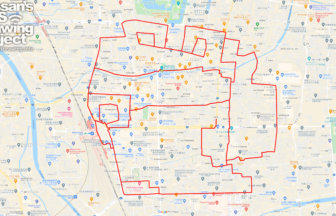
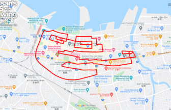
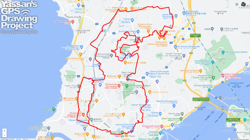
Ishikawa Prefecture is known as the “Thumb Prefecture” because the Noto Peninsula, stretching from Honshu to the Sea of Japan, looks like a thumb sticking out. We designed a logo that crosses the Noto Peninsula with the pose of a hand with a thumb up. We will present a course where this logo can be drawn in various places in Japan.
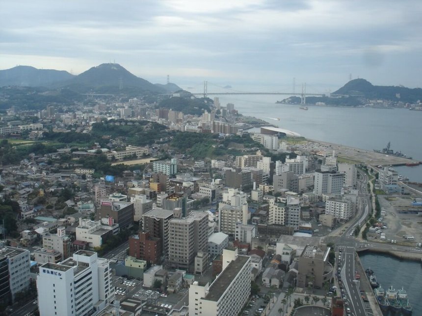
This course is to draw GPS art in the middle of Shimonoseki City. You can draw a circle around the area between Shimonoseki Station and Kanmon Bridge. The course has many ups and downs, as is typical of Shimonoseki, so those who are confident in their physical strength are encouraged to give it a try. Please give it a try when you visit Shimonoseki City!
DETAIL (EXTERNAL LINK)

A PIONEER IN GPS ART.
1st work was authorized by Guinness World Records as “the Largest GPS Drawing”.
He is the only Japanese person to be featured in a Google documentary as an innovator. He is fascinated by the idea of drawing with GPS and has published more than 1,500 courses.