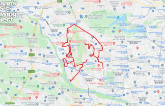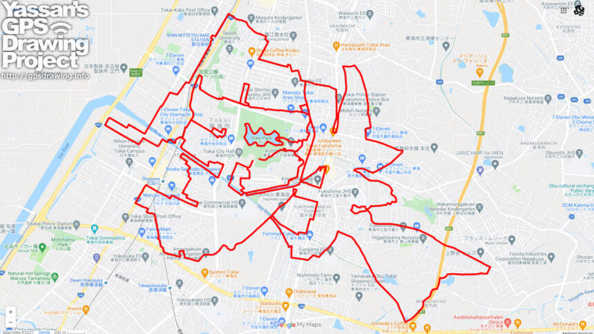
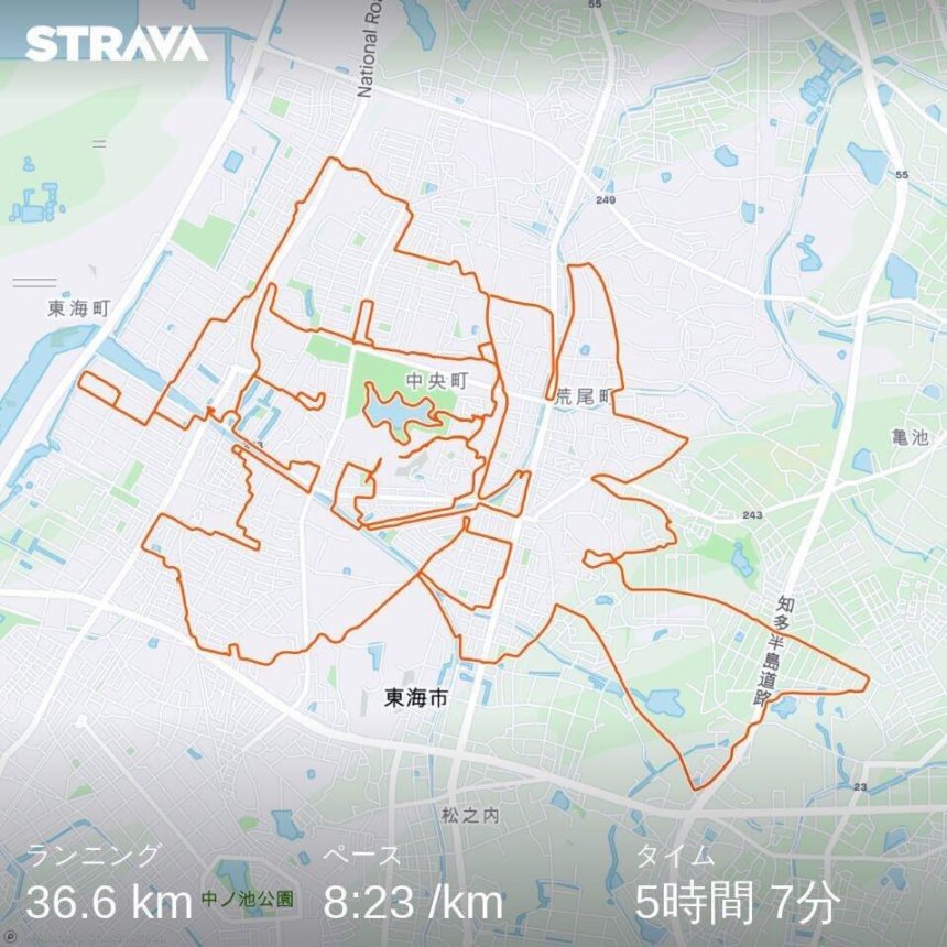
GPS art of “IRON” drawn in the city of iron✨
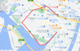
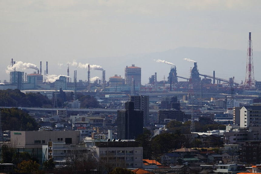
Tokai City is a town of steel mills located between the Chita Peninsula and Nagoya. This is an “iron” course that draws you to the area around the steel mills that represent the local area.
Even the author who came up with the course had not thought of the route, so the complexity is extremely difficult. Because of the distance, the sense of accomplishment upon completion may be several times greater than usual. We are looking for challengers!
Just Did It!
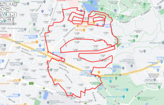
Due to the complexity and distance of the road, it would indeed take some time. I thought it would take a while, but it was easily conquered.
DETAIL (EXTERNAL LINK)

A PIONEER IN GPS ART.
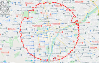
1st work was authorized by Guinness World Records as “the Largest GPS Drawing”.
He is the only Japanese person to be featured in a Google documentary as an innovator. He is fascinated by the idea of drawing with GPS and has published more than 1,500 courses.