Takasaki Circle Walk 35km

高崎サークルウォーク(群馬県高崎市)のGPSアート

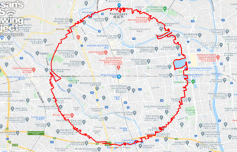
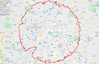
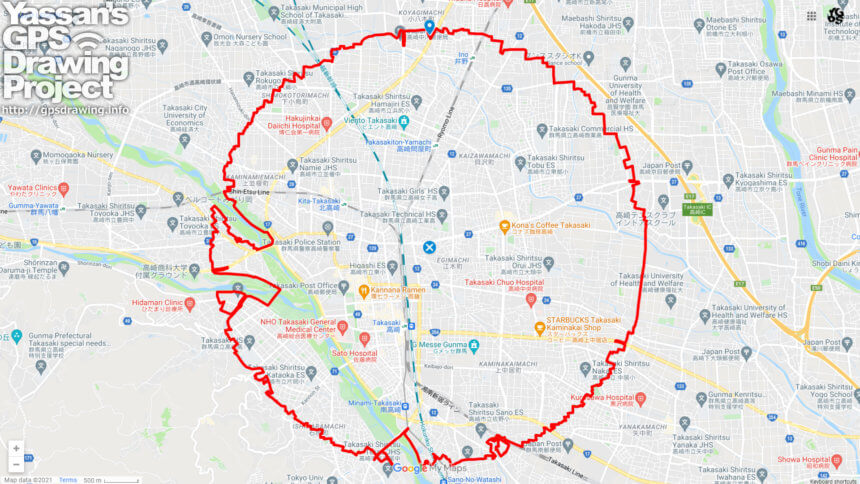
A circle with a radius of 3.14 km drawn at the gateway to the northern Kanto region✨

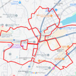
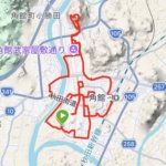
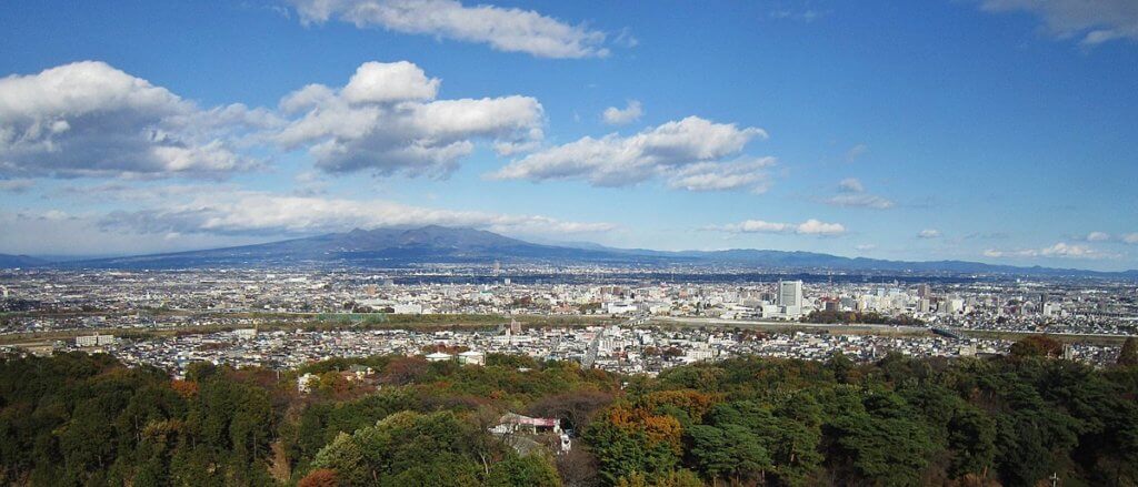
Takasaki City is a major city in Gunma Prefecture, located in the northern part of the Kanto Plain at the foot of Mt.
If you take the Shinkansen from Tokyo, the train splits into the Joetsu and Hokuriku directions from here. It is the gateway to the northern Kanto region.

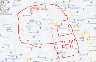
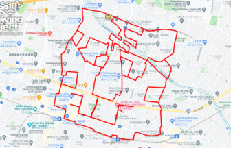
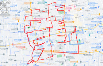
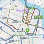
This is a relatively easy course to do as the road is made up of residential areas and paddy fields. I recommend it as a course that avoids dense traffic so you can enjoy the scenery!

RELATED COURSE

  1. 大袋のドクロ(埼玉県越谷市)のGPSアート

    Skull in Obukuro, Saitama pref. 5km

  2. 虎狛神社の虎(東京都調布市)のGPSアート

    Tiger in Kohaku-jinja Shrine, Chofu, Tokyo 16km

  3. 五龍神社の龍(佐賀県佐賀市)のGPSアート

    “Dragon” in Goryu Shrine, Saga City 33km

  4. 越谷サークルウォーク(埼玉県越谷市)のGPSアート

    Koshigaya Circle Walk 37km

  5. 多摩霊園のおばけ(東京都府中市)のGPSアート

    Ghost in Tama Cemetery, Fuchu, Tokyo 6km

  6. ブリュッセル サークルウォーク(ブリュッセル/ベルギー)のGPSアート

    Brusselles Circle Walk 35km

  1. 江戸川区自然動物園のライチョウ(東京都江戸川区)のGPSアート

    Rock Ptarmigan in Edogawa City Nature Zoo, Edogaw…

  2. さらんべ公園のさくら(北海道八雲町)のGPSアート

    Cherry Blossom around Saranbe Park, Yakumo, Hokka…

  3. 猿賀公園のさくら(青森県平川市)のGPSアート

    Cherry Blossom around Saruka Park, Hirakawa, Aomo…

  4. お物見公園のさくら(岩手県奥州市)のGPSアート

    Cherry Blossom around Omonomi Park, Oshu, Iwate p…

  5. 鹽竈神社のさくら(宮城県塩竈市)のGPSアート

    Cherry Blossom around Shiogama Shrine, Shiogama, …

  1. The squid is the symbol of Hakodate🦑, Hokkaido, …

  2. 夢洲サークルウォーク(大阪市此花区)のGPSアート

    Yumeshima Circle Walk 2km

  3. Aomori-Hakodate Ferry, Aomori, Aomori Pref. 11km

  4. Mount Kojō and the Cherry Blossoms of Kakunodate …

  5. Treasure Ship Tour of the Seven Lucky Gods (10 km…

ARCHIVES