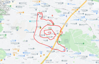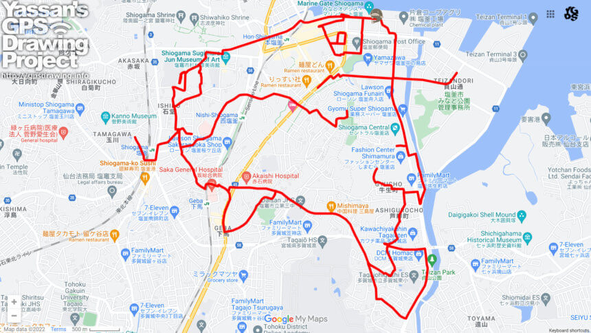
GPS art of catfish drawn on Shiogama City’s disaster prevention facility.
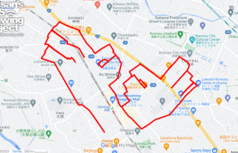
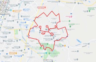
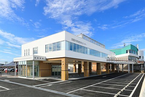
A course of catfish GPS art to be drawn at the Shiogama Tsunami Disaster Prevention Center, a disaster prevention and transmission facility in Shiogama, Miyagi Prefecture.
In order to prevent another disaster from occurring, the events that occurred during the seven days after the Great East Japan Earthquake are clearly recorded and displayed. It also serves as a temporary evacuation site in the event of a tsunami.
This course is a tour of the area around the evacuation site and draws Through the creation of this work, you should be able to grasp the evacuation route. We hope you will give it a try.
DETAIL (EXTERNAL LINK)

A PIONEER IN GPS ART.
1st work was authorized by Guinness World Records as “the Largest GPS Drawing”.
He is the only Japanese person to be featured in a Google documentary as an innovator. He is fascinated by the idea of drawing with GPS and has published more than 1,500 courses.