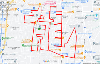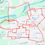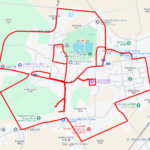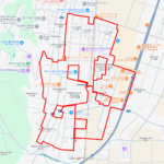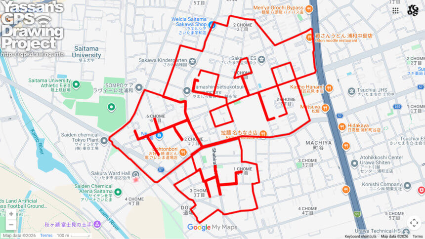
🌸 Triple Blooms in Sakura Ward: 11km course from Ward Office to Bypass 🌸
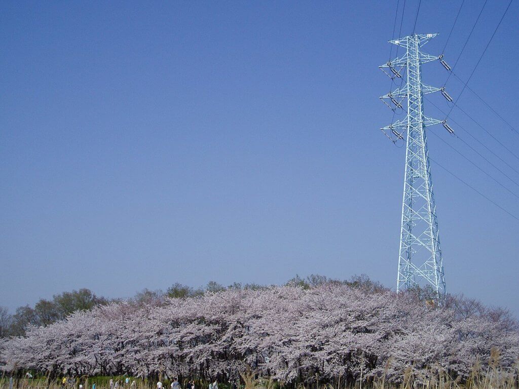
Located in the western part of Saitama City, Sakura Ward is a district defined by its namesake flora. The name originates from the historic cherry blossoms of the Kamo River and the Tajimagahara Sakurasou (primrose) community, a designated Special National Natural Monument. This 11km GPS art course invites you to draw not one, but three distinct cherry blossoms across the heart of the ward, stretching from the Sakura Ward Office in the west to the Omiya Bypass (National Route 17) in the east.
The course navigates the urban and residential center of the ward. This area offers a unique glimpse into the daily life of Saitama residents while staying connected to the natural heritage of the Kamo River. One of the best features of this course is its flat geography. Without the challenge of steep hills, you can focus entirely on the creative process of sketching the intricate triple-flower pattern. Along the way, you might spot local motifs featuring the sakurasou flower or well-tended cherry trees that line the neighborhood streets.
As you start near the ward office, your first blossom begins to take shape. Moving eastward through the quiet residential blocks and reaching the bustling Omiya Bypass area, the second and third blossoms are completed. The satisfaction of seeing three flowers bloom simultaneously on your digital map is the highlight of this trek. This 11km journey is an excellent way to celebrate the identity of Sakura Ward, connecting its historical roots with its modern landscape. Lace up your shoes and make three flowers bloom in the very heart of this flower-loving district!
DETAIL (EXTERNAL LINK)

A PIONEER IN GPS ART.
1st work was authorized by Guinness World Records as “the Largest GPS Drawing”.
He is the only Japanese person to be featured in a Google documentary as an innovator. He is fascinated by the idea of drawing with GPS and has published more than 2,500 works.