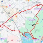
Draw “HOT” in the Academic City of Kashiwanoha✨
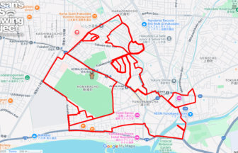
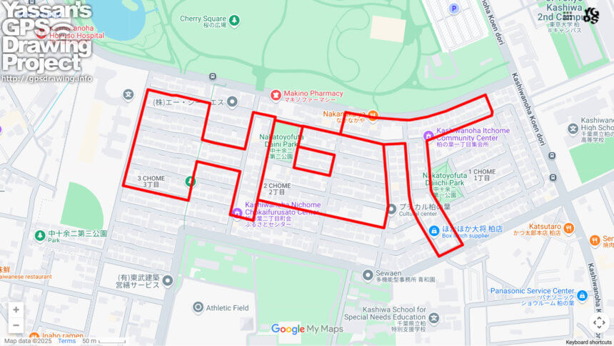
Kashiwa City in Chiba Prefecture is known as an academic city, and within it lies the Kashiwanoha district—an area with a rich history as the site of a former Imperial Japanese Army airfield. Today, it is centered around Kashiwanoha Park and surrounded by quiet residential neighborhoods. Here, you can enjoy a short 4km GPS art course that draws the word “HOT,” perfect for the summer season.
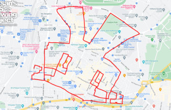
Starting near the south entrance of Kashiwanoha Park, the route leads through peaceful residential streets while tracing the “HOT” design. Along the way, you may notice subtle reminders of the past, such as former runway alignments and remnants of wartime facilities like gate posts and aircraft shelters. This once-expansive airfield has transformed into a vibrant community, yet it still retains historical landmarks that whisper of its past.
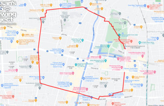
Today, Kashiwanoha has evolved into a modern, eco-friendly “smart town” along the Tsukuba Express line, known for its educational institutions and green spaces. Walking here offers a blend of lush parkland and well-planned streetscapes, making it pleasant even in the summer heat.
Why not bring the season’s warmth to life by drawing “HOT” on your GPS map, while exploring the history and charm of Kashiwanoha?
TOURISTS SPOT
- Kashiwanoha Park
- Nakatoyofuta Daiichi Park
- Nakatoyofuta Daini Park
- Kashiwa Army Airfield Site
REFFERENCE

DETAIL (EXTERNAL LINK)

A PIONEER IN GPS ART.
1st work was authorized by Guinness World Records as “the Largest GPS Drawing”.
He is the only Japanese person to be featured in a Google documentary as an innovator. He is fascinated by the idea of drawing with GPS and has published more than 2,500 works.