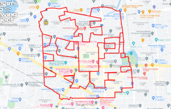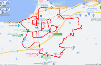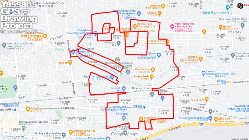
GPS art of a frog drawing in the name of a place named “Rain”🐸
This is a series of GPS art courses that draw frogs in “place names with “ame (雨)” (meaning “rain”).
Sobara Murasame-cho (蘇原村雨町) is located in the northern part of the Kakamigahara plateau and was a wilderness of the Owari clan. During the Meiji era (1868-1912), an army training ground was established there, and after the Kakamigahara Airfield was constructed in the Taisho era (1912-1926), munitions factories developed in the area. Due to the Pacific War, the population of the area increased due to workers at the munitions factories, and the area is now being reorganized as a residential area.
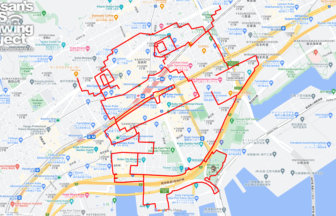
Since it is close to the center of Gifu, we would be happy if you could stop by and challenge us if you are in the Tokai area 🐸🐸🐸
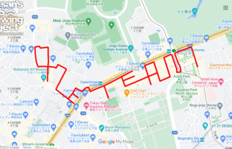
DETAIL (EXTERNAL LINK)

A PIONEER IN GPS ART.
1st work was authorized by Guinness World Records as “the Largest GPS Drawing”.
He is the only Japanese person to be featured in a Google documentary as an innovator. He is fascinated by the idea of drawing with GPS and has published more than 1,500 courses.