
Support Noto Peninsula! Drawing GPS Art Ties All Over Japan👍✨
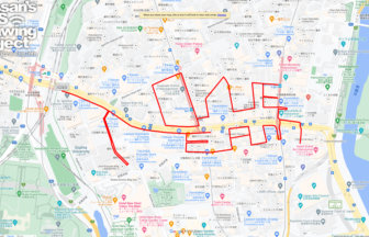
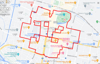
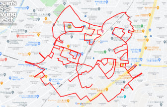
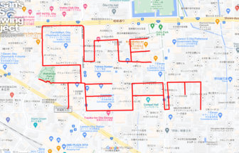
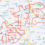
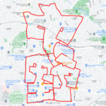
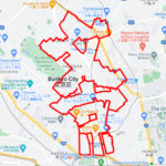
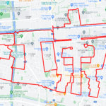
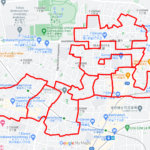
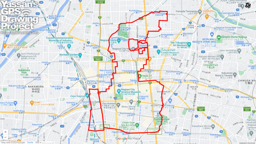
Run and walk to support Noto Peninsula! A GPS art course where you can draw a Noto Peninsula support logo in Nagoya.
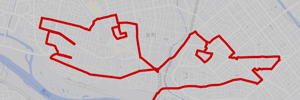
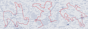
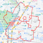
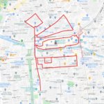
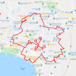
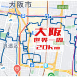
Ishikawa Prefecture is known as the “Thumb Prefecture” because the Noto Peninsula, stretching from Honshu to the Sea of Japan, looks like a thumb sticking out. We designed a logo that crosses the Noto Peninsula with the pose of a hand with a thumb up. We will present a course where this logo can be drawn in various places in Japan.
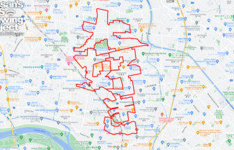
This is a GPS art course that takes you around the center of Nagoya City. You can visit Nagoya Castle, MIRAI TOWER, and Tsurumai Park, Nagoya’s representative tourist attractions. You can also start near Nagoya Station, so you can take on the challenge while sightseeing by train. We hope you will give it a try when you stop by!
TOURISTS SPOT
- Nagoya Castle
- Kinshachi Yokocho
- Water Treatment Science Museum
- Nanao Shrine
- Nagoya City Archives and Museum
- Cultural Path Shumokukan
- Former Residence of Sasuke Toyoda
- Chubu Electric Power MIRAI TOWER (Nagoya TV Tower)
- Tsuruma Park
- Aichi Prefectural Museum Of Art
- Nana chan Doll
REFFERENCE
DETAIL (EXTERNAL LINK)

A PIONEER IN GPS ART.
1st work was authorized by Guinness World Records as “the Largest GPS Drawing”.
He is the only Japanese person to be featured in a Google documentary as an innovator. He is fascinated by the idea of drawing with GPS and has published more than 1,500 courses.