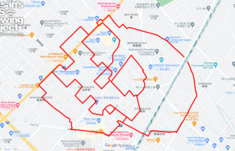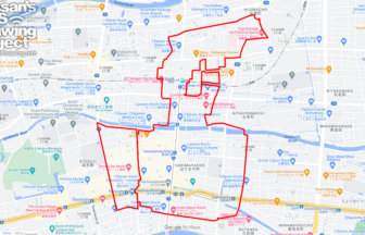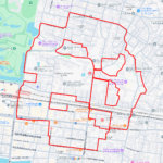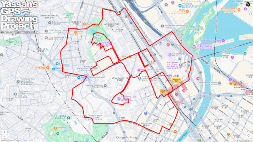
🌸 Guardian of Yokohama and the Hill of Openness: A 6km Sakuragicho course 🌸
Sakuragicho serves as the historic gateway to Yokohama. Its name originated in 1872 when the first railway opened; the town was named “Sakuragicho” (Cherry Blossom Wood Town) after the magnificent blossoms that covered the hills of Noge. This 6km GPS art course takes you through the elevated western district, the very landscape that inspired the town’s name.
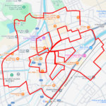
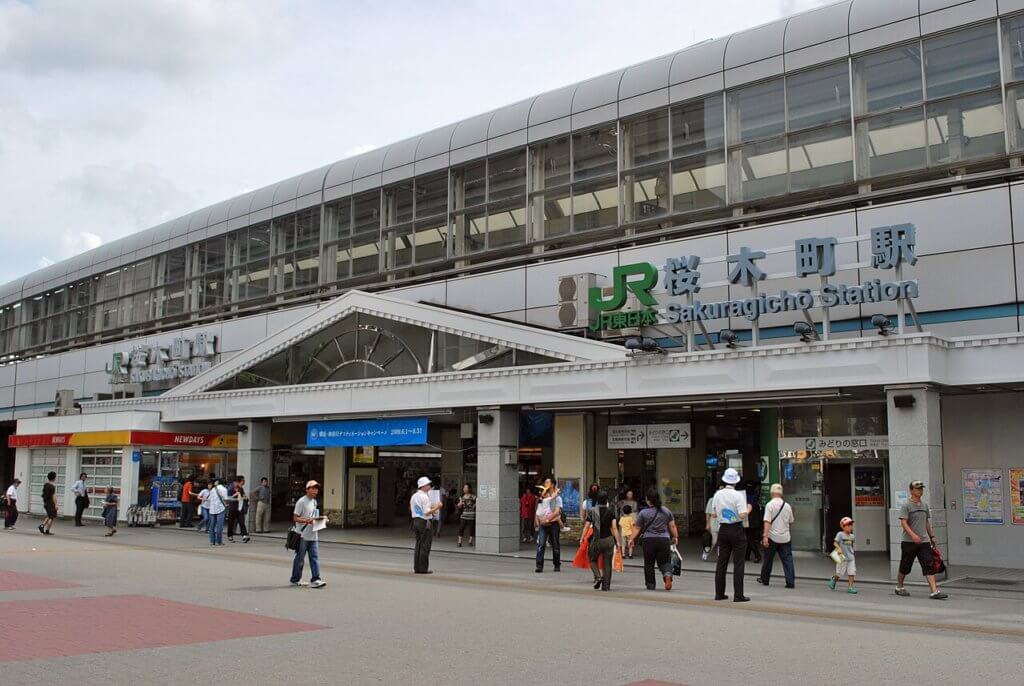
Starting from Sakuragicho Station, the birthplace of Japan’s railway, you will leave the modern harbor behind and climb toward the spiritual heart of the city. Your first major landmark is Iseyama Kotaijingu, known as the “Ise Jingu of the East.” As the grand guardian shrine of Yokohama, it sits majestically atop a hill, offering a serene atmosphere and a sense of deep-rooted protection over the port below.
The course then leads you to Kamon-yama Park, one of Yokohama’s premier spots for cherry blossoms. This park is dedicated to Ii Naosuke (Lord Kamon), a key figure in opening Japan to the world. A bronze statue of him stands at the summit, surrounded by Somei-Yoshino trees that create a stunning pink canopy in spring. From this vantage point, you can enjoy a dramatic contrast between the historic monuments and the futuristic skyline of the waterfront.
While this course involves some slopes, the reward is a series of breathtaking vistas that connect Yokohama’s feudal past with its cosmopolitan present. By following this trail, you are not just exercising; you are retracing the botanical origins of the city’s name. Lace up your shoes, breathe in the history of the hills, and let your digital map bloom with a beautiful Sakura flower.
DETAIL (EXTERNAL LINK)

A PIONEER IN GPS ART.
1st work was authorized by Guinness World Records as “the Largest GPS Drawing”.
He is the only Japanese person to be featured in a Google documentary as an innovator. He is fascinated by the idea of drawing with GPS and has published more than 2,500 works.