🐦 Through Exotic Hillside Villas, Historic Chinatown, and Modern Harbor Waterfronts 🐦
Kobe City in Hyogo Prefecture, dramatically situated between the lush Rokko Mountain Range and the scenic waters of Osaka Bay, has flourished as one of Japan’s premier international port cities since opening to foreign trade in 1868. Famous for its exotic urban landscape, the city seamlessly bridges Western and Eastern heritage—from the preserved 19th-century European architecture of the Kitano Foreign Settlement to the bustling lanes of Nankinmachi Chinatown and the refined grid streets of the Old Foreign Settlement.
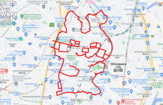
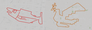
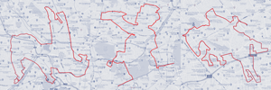
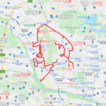
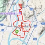
This 12km GPS art course invites you to experience a storied landscape, descending from mountain foothills down to the vibrant bayfront to sketch a Ptarmigan on your digital map.
The journey immerses you in Kobe’s cosmopolitan charm, passing the iconic red-brick Weathercock House (The Former Thomas House), the repurposed heritage space at KOBE KITANO NOSTA, and the foothill entrance to Kobe Nunobiki Herb Gardens & Ropeway. Tracing sacred sanctuaries, you will encounter the historic Ikuta Shrine and Ninomiya Shrine before navigating the lively hubs surrounding Sannomiya Station. The route leads past cultural spots such as KŌBE Children’s Book Forest, the open lawns of Minato no Mori Park, and the modernized waterfront at Kobe New Seaport, before reaching the tantalizing culinary aromas of Nankinmachi.
Featuring an engaging blend of historic hillside slopes and refreshing seaside promenades, this 12km route captures Kobe’s elegant, multicultural soul. As the digital silhouette completes on your map, you are left with a memorable impression of this timeless port city.
TOURISTS SPOT
- The Former Foreign Settlement of Kobe
- Kobe Kitano Ijinkan-Gai
- Ninomiya Shrine
- Ikuta Shrine
- Weathercock House (The Former Thomas House)
- KŌBE Children’s Book Forest
- KOBE KITANO NOSTA
- Kōbe International House – International Hall
- Minato no Mori Park
- Kobe New Seaport
- Nankinmachi
- Kobe Nunobiki Herb Gardens & Ropeway
- Sannomiya Station
RESTAURANTS
- Gyukatsu Kyoto Katsugyu – M-INT Kobe
- Marutaka Chukasoba Ninomiya Shop
- Ramen Ichiren
- Gashoken
- Minatoken Sannomiya Kokashita
- Kobe Nadahachi Sannomiya
- Mendo Shuhari Sannomiya
- Kobe beef Ramen Yazawa
REFFERENCE
- GPS ART Courses in ChuoWard, KobeCity, Hyogo pref.
- GPS ART Courses in KobeCity, Hyogo pref.
- How to make GPS Art

DETAIL (EXTERNAL LINK)

A PIONEER IN GPS ART.
1st work was authorized by Guinness World Records as “the Largest GPS Drawing”.
He is the only Japanese person to be featured in a Google documentary as an innovator. He is fascinated by the idea of drawing with GPS and has published more than 2,500 works.