🐦 Through the Birthplace of Japanese Aviation and Green Musashino Woodlands 🐦
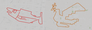
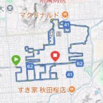
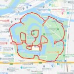
Tokorozawa City in Saitama Prefecture, located on the northern Musashino Plateau, holds a legendary place in history as the birthplace of Japanese aviation, home to Japan’s very first airfield opened in 1911. Today, the former runway grounds have been transformed into the expansive, greenery-filled Tokorozawa Aviation Memorial Park. The city harmonizes its proud aviation heritage and modern suburban railway hubs with peaceful historic shrines nestled along quiet residential streets. This 15km GPS art course invites you to experience a storied landscape, connecting green parks and historic landmarks to sketch a Ptarmigan on your digital map.
The journey immerses you in a refreshing suburban atmosphere, exploring the vast lawns of Tokorozawa Aviation Memorial Park and the fascinating flight exhibits at the Tokorozawa Aviation Museum. Navigating past the energetic commercial quarter around Tokorozawa Station, the route crosses the scenic Asahibashi Bridge. Tracing peaceful neighborhood avenues, you will visit sacred local sanctuaries such as Akitsuhikawa Shrine and Yasumatsu Shrine, which offer a tranquil glimpse into the area’s rich communal heritage.
Featuring mostly flat roads wrapped in fresh air and aviation lore, this 15km route offers an invigorating long-distance walk or run. As the digital silhouette completes on your map, you are left with a memorable impression of Tokorozawa’s historic skies and green avenues.
RESTAURANTS

DETAIL (EXTERNAL LINK)

A PIONEER IN GPS ART.
1st work was authorized by Guinness World Records as “the Largest GPS Drawing”.
He is the only Japanese person to be featured in a Google documentary as an innovator. He is fascinated by the idea of drawing with GPS and has published more than 2,500 works.