🌸 Gateway to Kasumigaura: A 4km Sakura course through historic Tsuchiura Sakuramachi 🌸
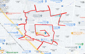
Tsuchiura City, Ibaraki, located on the shores of Lake Kasumigaura, Japan’s second-largest lake, has a rich history as both a strategic water transport hub and a thriving castle town. This 4km GPS art course invites you to explore the heart of the city in Sakuramachi, a district named after the scenic Sakura River that flows nearby.
The journey begins at Tsuchiura Station, the modern gateway to the city, which uniquely houses the Tsuchiura City Hall within its complex. As you navigate the course, you will move from the bustling commercial center to the tranquil banks of the Sakura River. The riverbank is renowned for its stunning cherry blossoms in spring, creating a brilliant pink promenade that reflects beautifully on the water’s surface—the very namesake of the town you are traversing.
Along the route, you will also encounter Toko-ji Temple, a historic spiritual site that offers a glimpse into Tsuchiura’s serene past as a feudal stronghold. The 4km distance is perfect for a light stroll or jog, taking about an hour to complete while soaking in the local atmosphere. The terrain is notably flat, allowing you to enjoy the refreshing breeze coming off the lake.
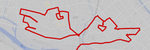
Whether you are a cycling enthusiast visiting the famous Ring-Ring Road or a history buff exploring the castle town, this GPS art course provides a creative way to engage with the city. By the time you complete your journey, a digital cherry blossom will bloom on your map, mirroring the real flowers that have long defined the identity of Tsuchiura. Lace up your shoes and let your footsteps tell the story of this vibrant waterside town!

DETAIL (EXTERNAL LINK)

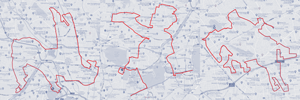
A PIONEER IN GPS ART.
1st work was authorized by Guinness World Records as “the Largest GPS Drawing”.
He is the only Japanese person to be featured in a Google documentary as an innovator. He is fascinated by the idea of drawing with GPS and has published more than 2,500 works.