🐦 Through Landmark Domes, Green Neighborhood Parks, and Historic Shrines 🐦
The western district of Kita Ward in Okayama City, famously known as the capital of the “Land of Sunshine,” extends across the fertile Sasagase River plain. At the heart of this neighborhood stands the iconic Okayama Dome, a multi-purpose indoor sports arena built on a converted rail yard near Kitanagase Station. Surrounded by quiet residential avenues, scenic community parks, and historic shrines, the area seamlessly combines modern suburban convenience with local heritage and peaceful greenery.
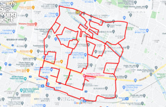
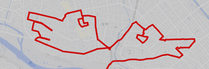
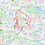
This 15km GPS art course invites you to experience a storied landscape, navigating flat city streets and neighborhood green spaces to sketch a Ptarmigan on your digital map.
The journey immerses you in a relaxed suburban atmosphere, starting near the distinctive white membrane roof of Okayama Dome before leading into the expansive green lawns of Minan Park. Exploring the vibrant neighborhood avenues, the route passes the local shopping hub at Okayama Mall and guides you toward the tranquil, tree-lined grounds of Munetada Shrine, a prestigious sanctuary dedicated to the founder of the Kurozumi-kyo Shinto movement.
Featuring completely flat, well-maintained paths cooled by gentle sunshine and suburban breezes, this 15km route offers an invigorating long-distance walk or run. As the digital silhouette completes on your map, you are left with a memorable impression of Okayama’s welcoming cityscape.
TOURISTS SPOT
RESTAURANTS

DETAIL (EXTERNAL LINK)

A PIONEER IN GPS ART.
1st work was authorized by Guinness World Records as “the Largest GPS Drawing”.
He is the only Japanese person to be featured in a Google documentary as an innovator. He is fascinated by the idea of drawing with GPS and has published more than 2,500 works.