🐦 Through Historic Takeda Legacy, Serene Shrines, and Kofu Basin Views 🐦
Located in the northern part of Kofu City, Yamanashi Prefecture, the Takeda Shrine area rests on an alluvial fan overlooking the scenic Kofu Basin. This historic district was the political and cultural center of Kai Province (modern-day Yamanashi) during the Sengoku period. It served as the fortified residence (Tsutsujigasaki Yakata) of the legendary warlord Takeda Shingen, as well as his father and son. Today, the site is home to Takeda Shrine, dedicated to Shingen, surrounded by preserved samurai ruins and lush natural scenery.
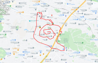
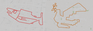
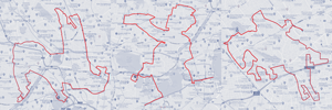
This 8km GPS art course invites you to experience a storied landscape, walking through sites steeped in Sengoku-period history to sketch a Ptarmigan on your digital map.
The journey immerses you in samurai heritage, starting near the hallowed grounds of Takeda Shrine and exploring historical artifacts at the Treasure Hall and Shingen Museum. Tracing the footsteps of the Takeda clan, the route guides you through the preserved landscapes of the Ruins of Takeda Family’s Residence Historical Site Park and the solemn Tomb of Takeda Shingen. The path continues past the serene precinct of Yamanashiken Gokoku Shrine and the nostalgic Tsutsujigasaki Hot Spring and Pool, weaving around the energetic academic grounds of the University of Yamanashi, Kōfu Campus.
Featuring gentle slopes along the northern basin rich in legendary samurai lore, this 8km route offers a memorable walk through Kofu’s history. As the digital silhouette completes on your map, you are left with an unforgettable impression of this legendary warlord’s homeland.
RESTAURANTS

DETAIL (EXTERNAL LINK)

A PIONEER IN GPS ART.
1st work was authorized by Guinness World Records as “the Largest GPS Drawing”.
He is the only Japanese person to be featured in a Google documentary as an innovator. He is fascinated by the idea of drawing with GPS and has published more than 2,500 works.