🐦 Through Historic Success Castles, Vibrant Downtown Avenues, and Sacred Shrines 🐦
Hamamatsu City in Shizuoka Prefecture, situated east of Lake Hamana, has long flourished as a strategic post along the historic Tokaido Highway. Renowned as the “City of Success,” it is famously where young Tokugawa Ieyasu spent 17 pivotal years before uniting Japan. Today, Hamamatsu seamlessly blends its rich samurai castle town heritage and modern manufacturing legacy with a vibrant downtown atmosphere.
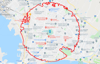
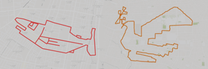
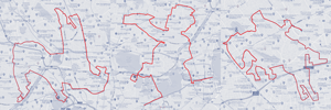
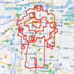
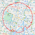
This 7km GPS art course invites you to experience a storied cityscape, tracing historic castle grounds and lively commercial avenues to sketch a Ptarmigan on your digital map.
The journey immerses you in samurai history and local culture, starting around Hamamatsu Castle and the historic Motoshirochō Tōshōgū Shrine (Hikuma Castle Site). Exploring the surrounding cultural core, you will encounter the Hamamatsu Municipal Museum of Art, Hamamatsu City Hall / Chuo Ward Office, and sacred sanctuaries such as Gosha Shrine – Suwa Shrine and Matsuo Shrine. The route guides you past the striking Western-style architecture of the Keisuke Kinoshita Memorial Museum, the bustling shopping arcades at Zaza City Hamamatsu, and the major transit hubs of Hamamatsu Station and Shin-Hamamatsu Station, before passing Create Hamamatsu near Enshūbyōin Station.
Featuring flat, walkable streets steeped in history and civic energy, this 7km route offers an engaging tour of Hamamatsu. As the digital silhouette completes on your map, you are left with a memorable impression of this historic castle city.
TOURISTS SPOT
RESTAURANTS

DETAIL (EXTERNAL LINK)

A PIONEER IN GPS ART.
1st work was authorized by Guinness World Records as “the Largest GPS Drawing”.
He is the only Japanese person to be featured in a Google documentary as an innovator. He is fascinated by the idea of drawing with GPS and has published more than 2,500 works.