🐦 Through Historic Temple Towns, Subculture Arcades, and Scenic City Parks 🐦
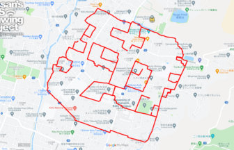
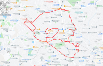
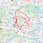
Osu in Naka Ward, Nagoya City, Aichi Prefecture, has flourished as a vibrant temple town surrounding Osu Kannon ever since Tokugawa Ieyasu relocated the city center during the historic “Kiyosu Goshi” in the early Edo period. Protected under the Owari Tokugawa clan, the district evolved into a dynamic cultural crossroads. Today, it is famous nationwide for its eclectic shopping arcades, perfectly blending historic heritage with subculture, international cuisine, and modern trends. This 11km GPS art course invites you to experience a storied landscape, weaving through bustling market streets, grand temples, and lush urban parks to sketch a Ptarmigan on your digital map.
The journey immerses you in a rich tapestry of history and urban energy, passing the colorful arcades of Osu Shotengai Shopping Street, the historic halls of Osu Kannon, and the futuristic LED-decorated Bansho-ji Temple. Tracing sacred sites, you will encounter the rabbit-adorned Miwa Shrine, alongside the majestic temple grounds of Shinshū Ōtani-ha Nagoya-Betsuin Temple and Hongan-ji Nagoya-betsuin (Nishi-betsuin) Temple. The path guides you past the floral retreat of Hisaya-odori Garden Flarie into the expansive greenery of Shirakawa Park, home to the Nagoya City Art Museum and the world-class planetarium at FUJI Nagoya Science Museum.
Featuring flat, lively avenues connecting feudal temple heritage with modern pop culture, this 11km route offers an unforgettable tour of Nagoya. As the digital silhouette completes on your map, you are left with a memorable impression of this vibrant metropolis.
RESTAURANTS

DETAIL (EXTERNAL LINK)

A PIONEER IN GPS ART.
1st work was authorized by Guinness World Records as “the Largest GPS Drawing”.
He is the only Japanese person to be featured in a Google documentary as an innovator. He is fascinated by the idea of drawing with GPS and has published more than 2,500 works.